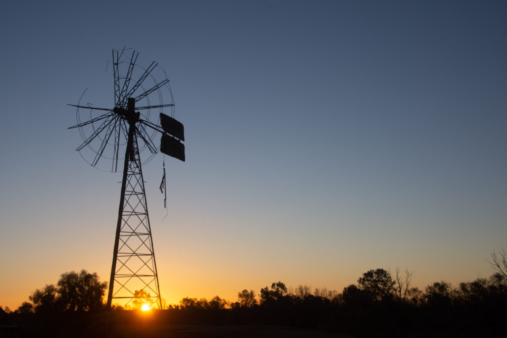
18• Flinders Range – Poeppel Corner (Simpson Desert)
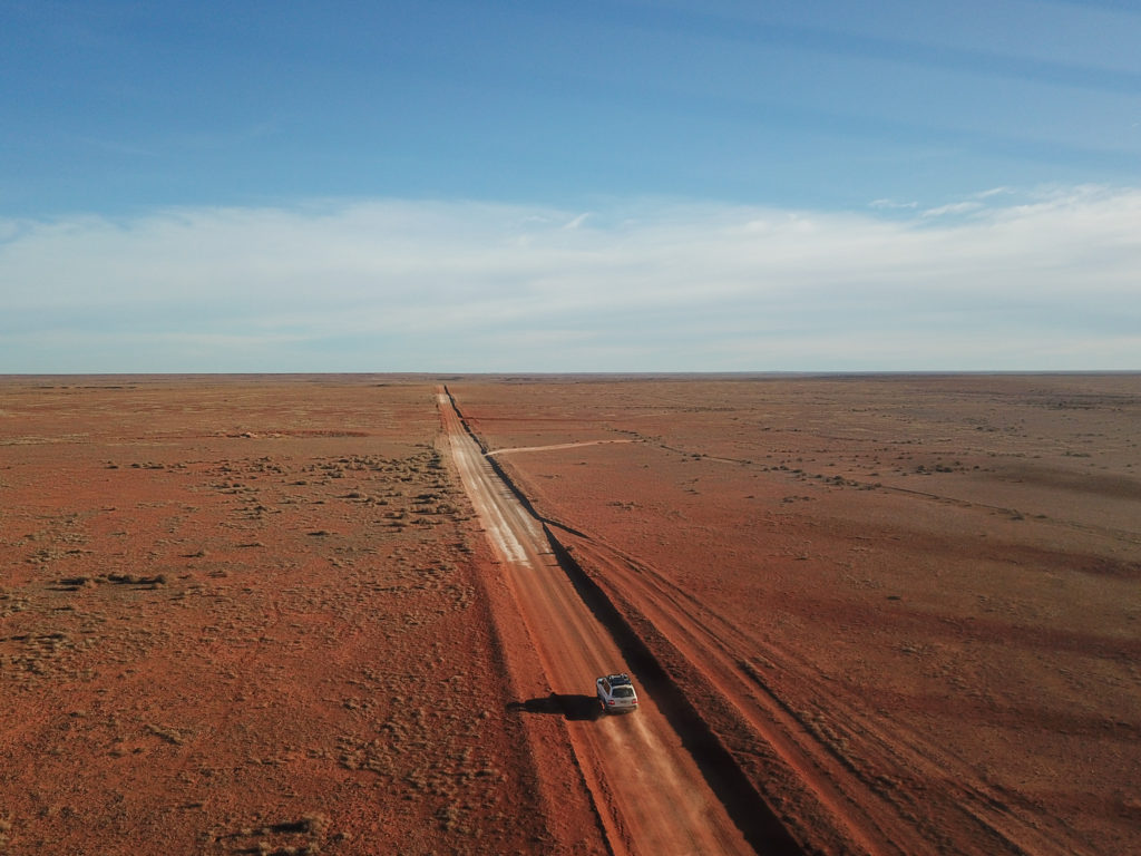
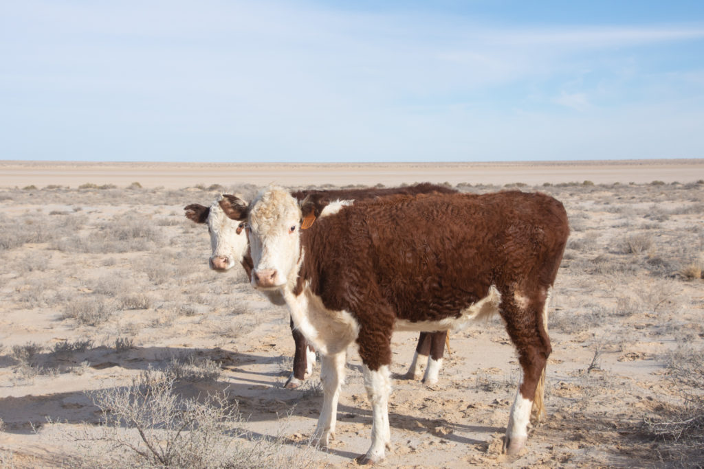
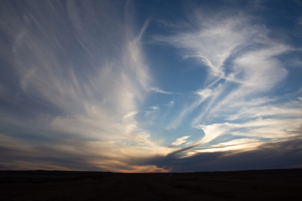
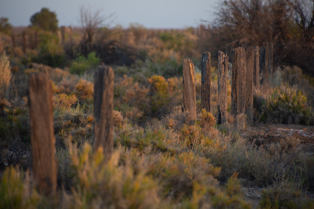
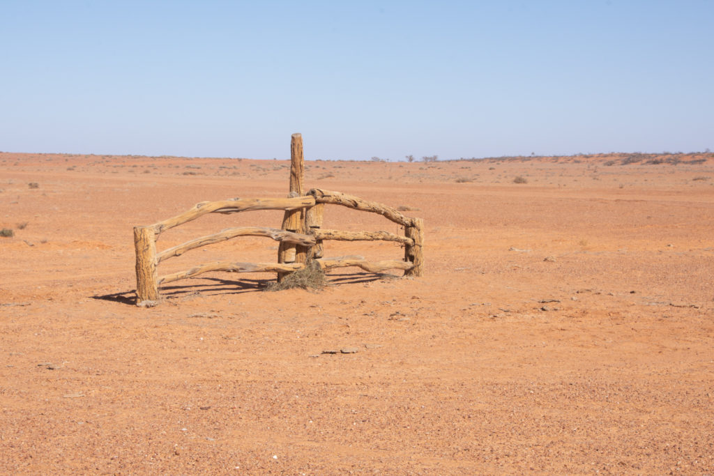
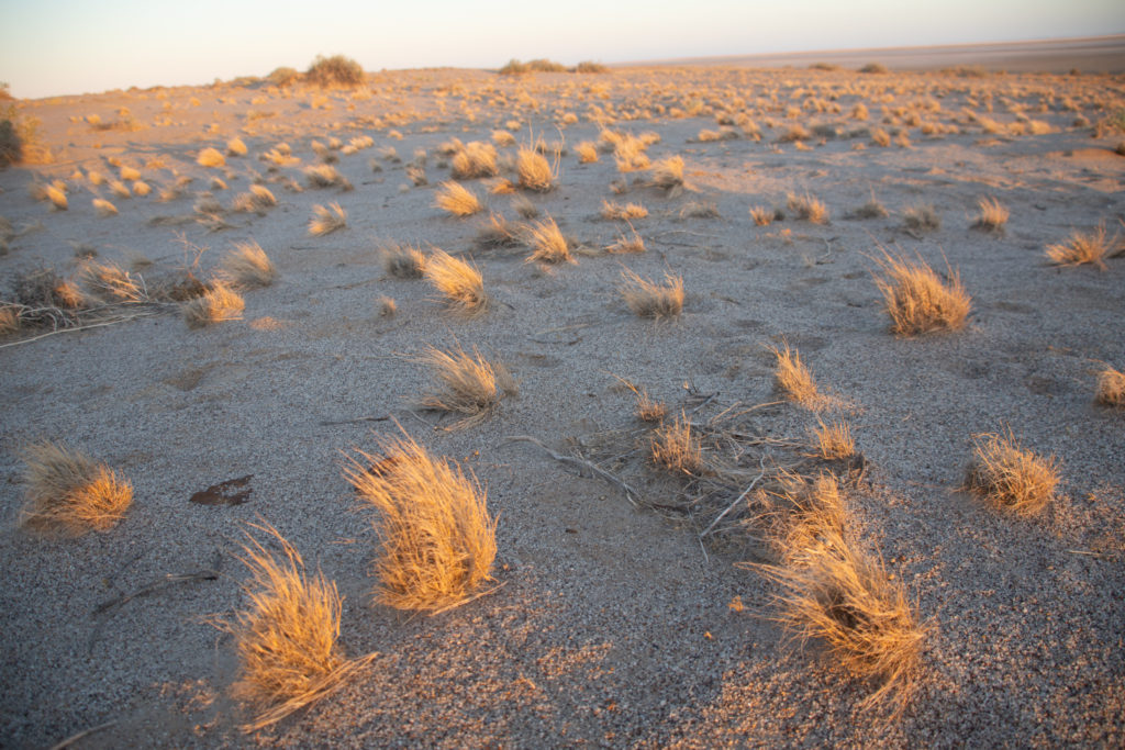
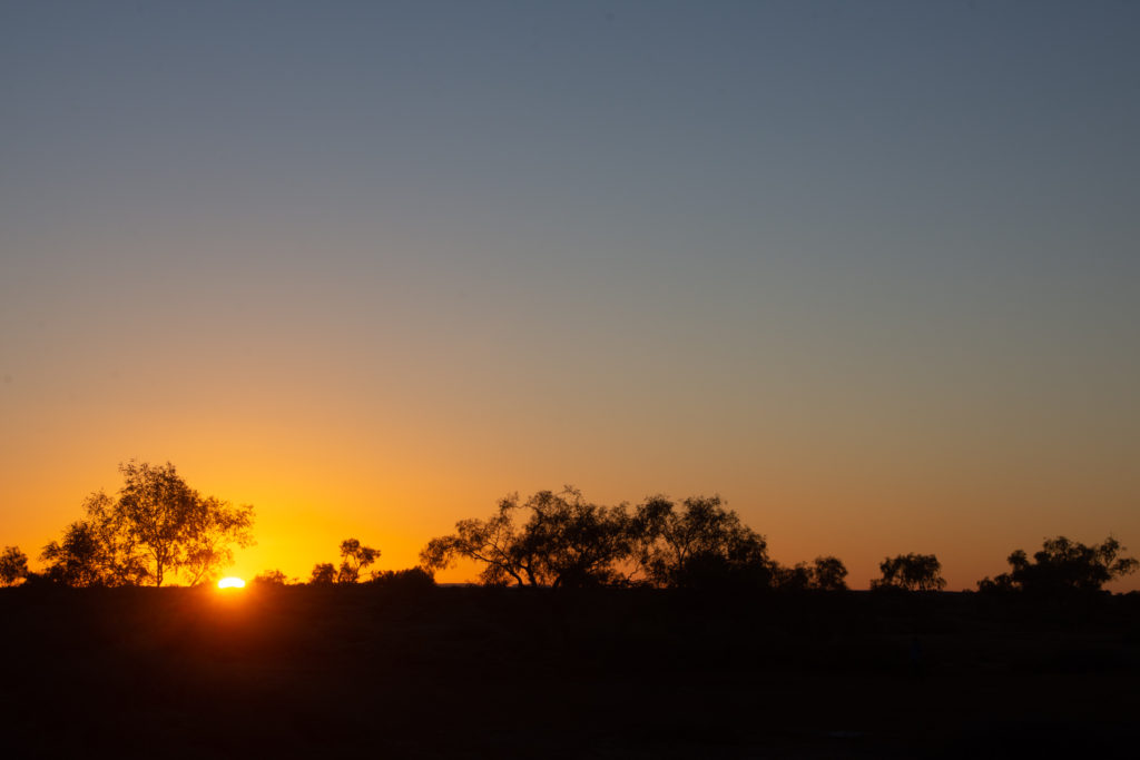
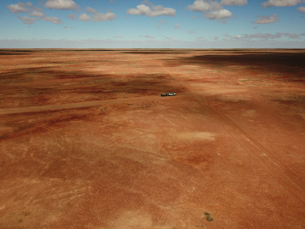
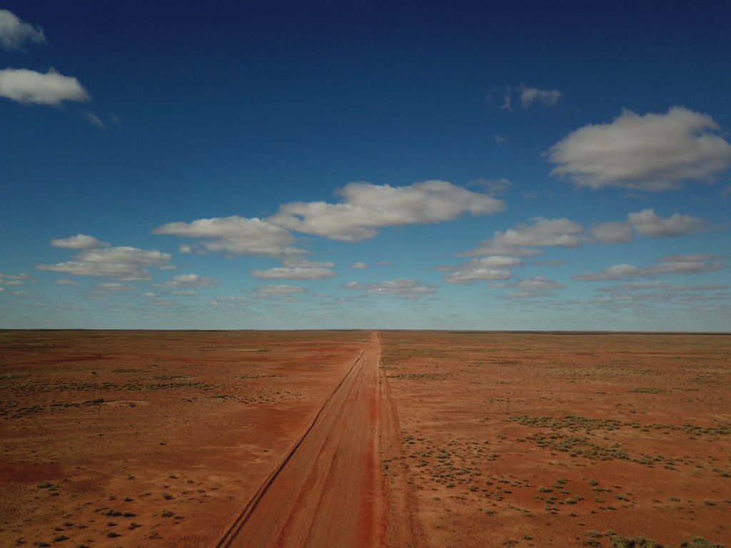
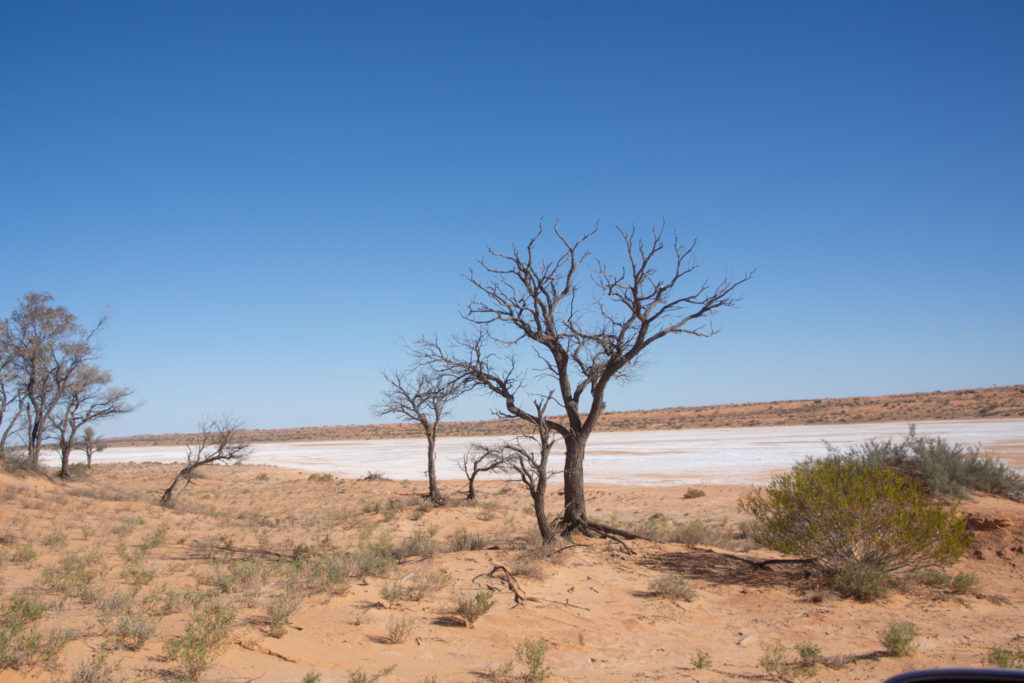
Our adventure is almost over, here are some of the last pictures of it. We’ve been through various deserts, white salt lakes and red sand dunes, often with the feeling of being the only ones there, which we didn’t mind. We once again enjoyed some camp fires which were much welcomed as the evenings were getting quite cold, allowing us to spend more time watching the stunning night skies.
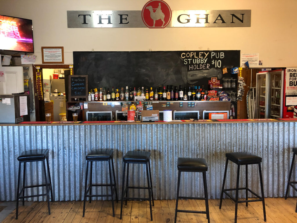
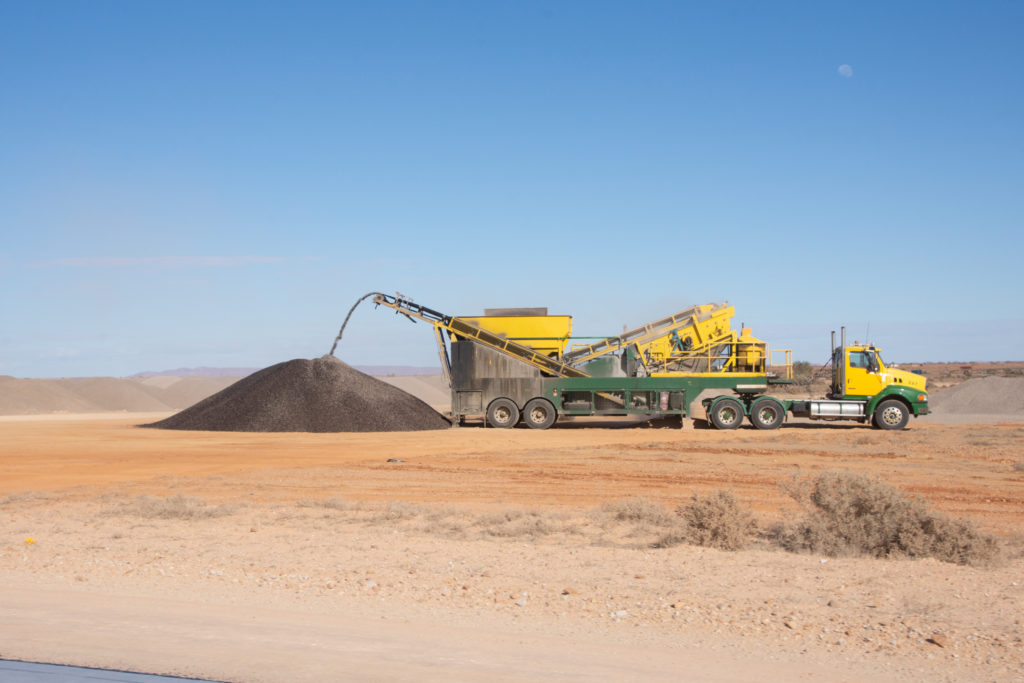
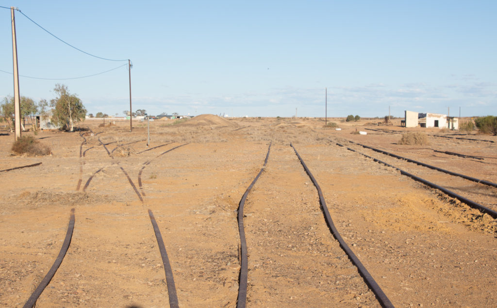
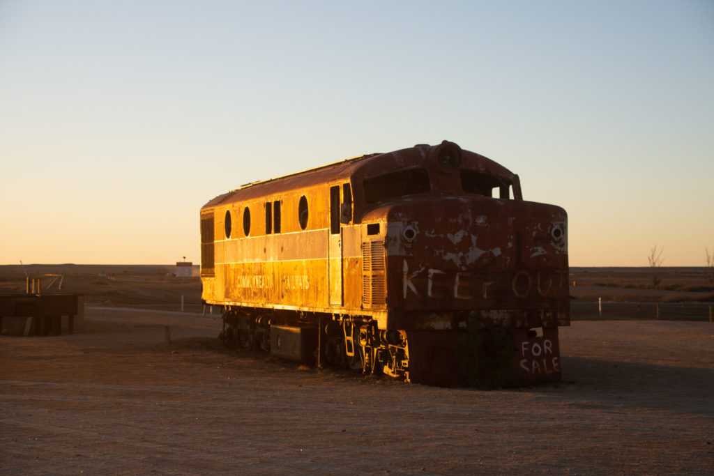
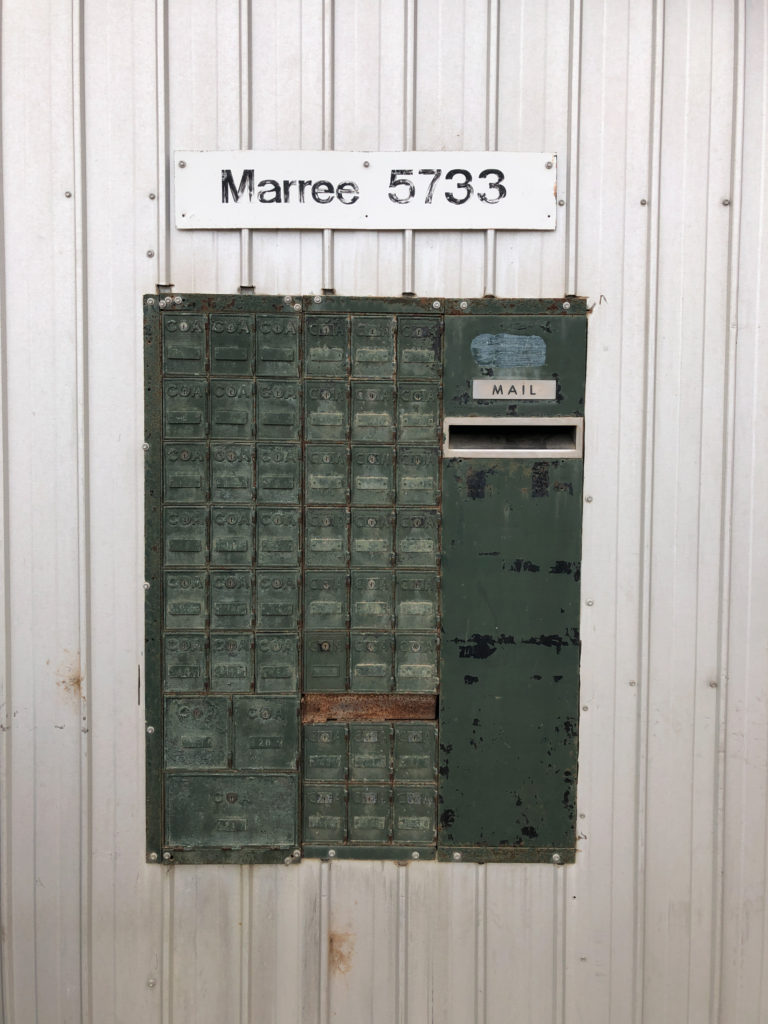
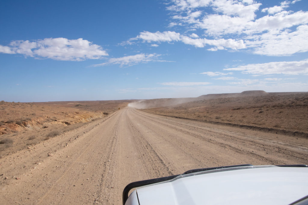
May 22nd, Copley, The Outback Hwy, SAFarina, SAPity to see more and more tracks being bitumen. The Outback Hwy, SAMarree, SABirdsville Track, Marree, SAThe Old Ghan
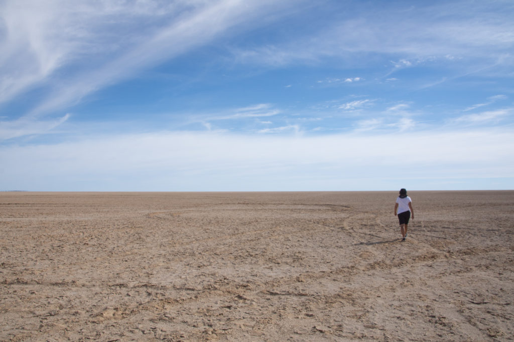
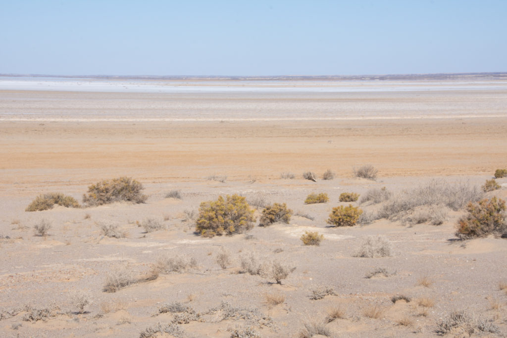
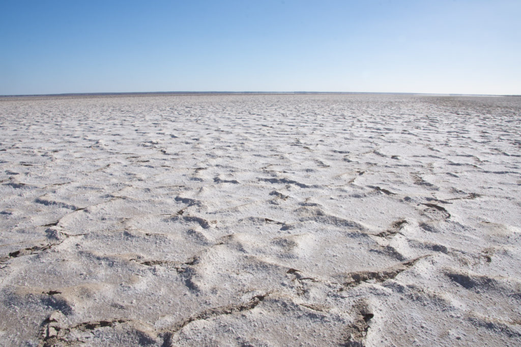
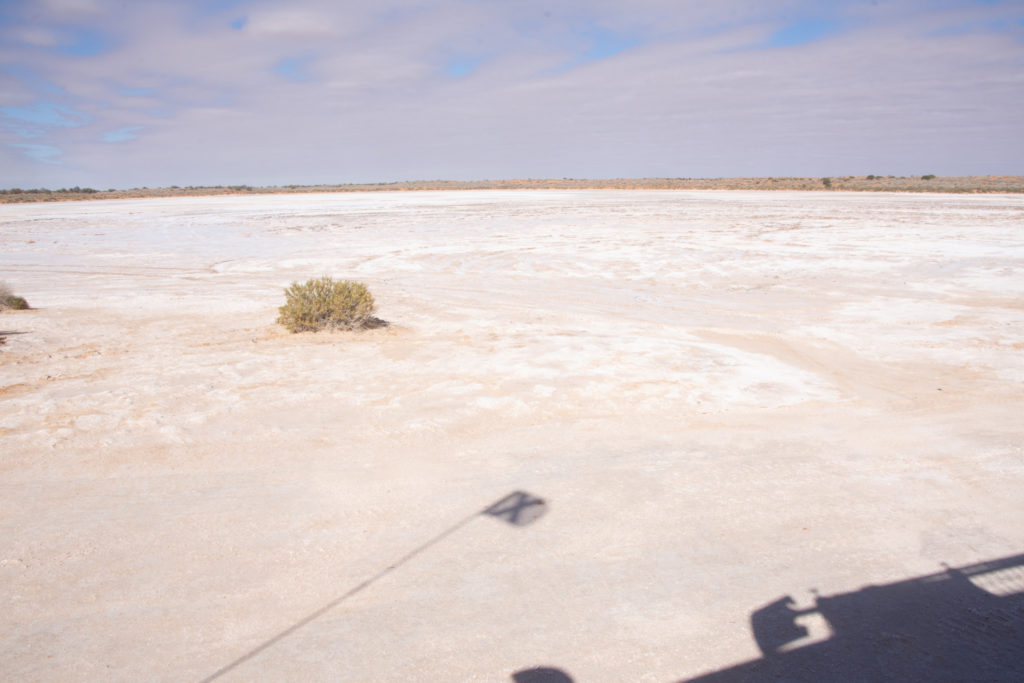
May 24th, Level Post Bay Rd Lake Eyre North, SA
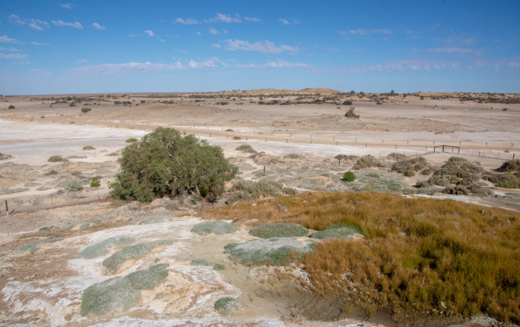
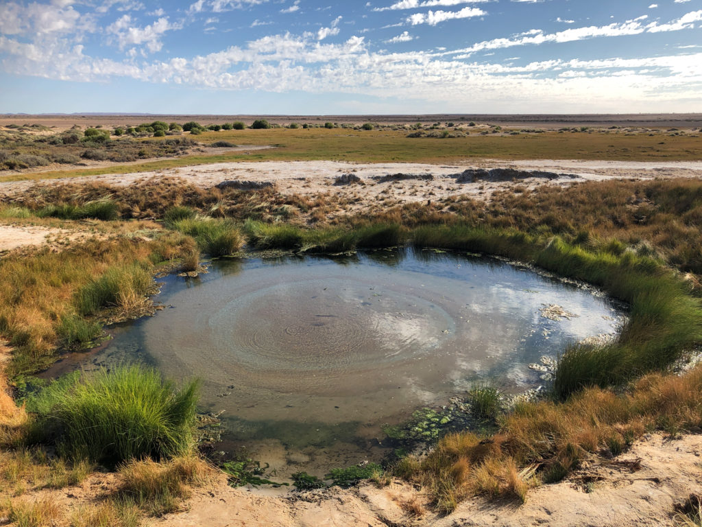
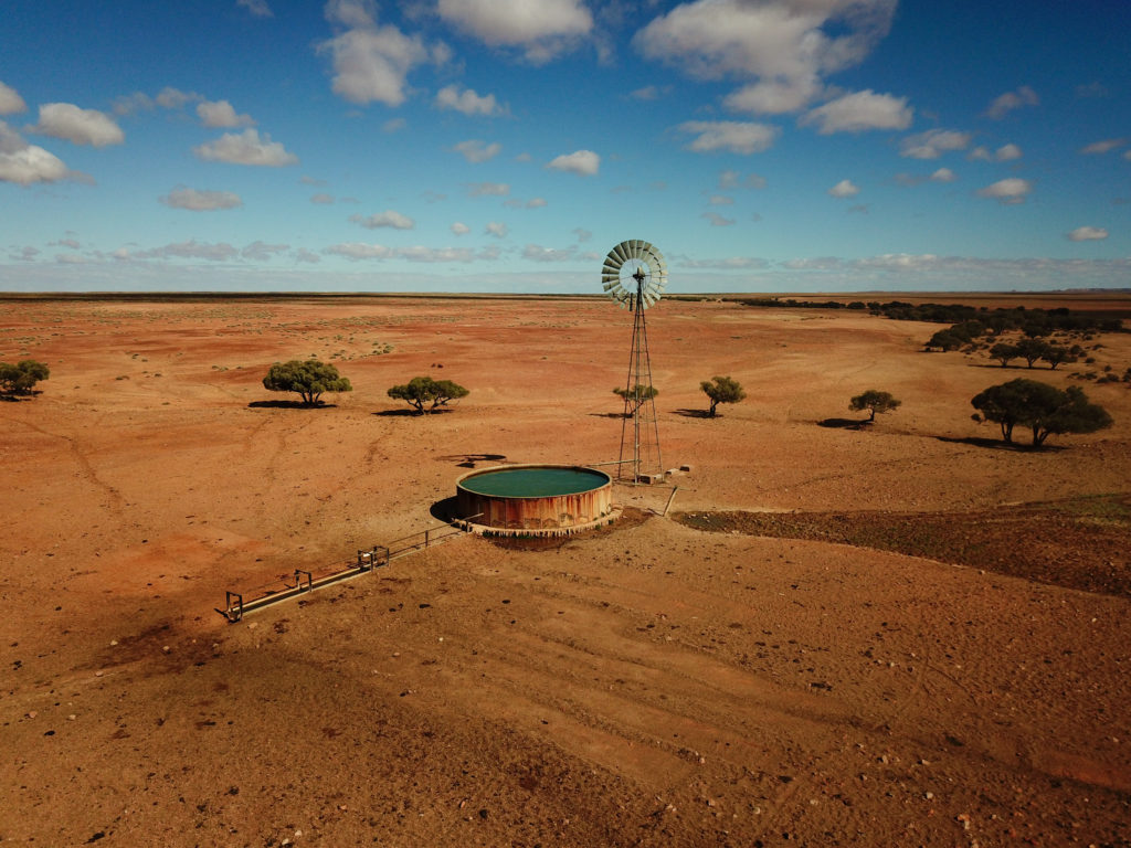
Hot water spring, Muloorina Station, SA
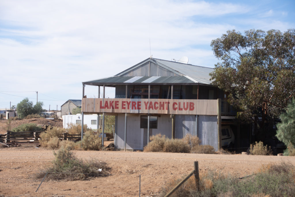
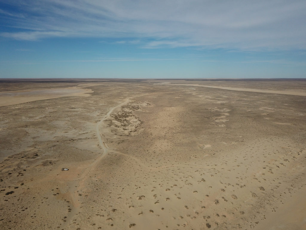
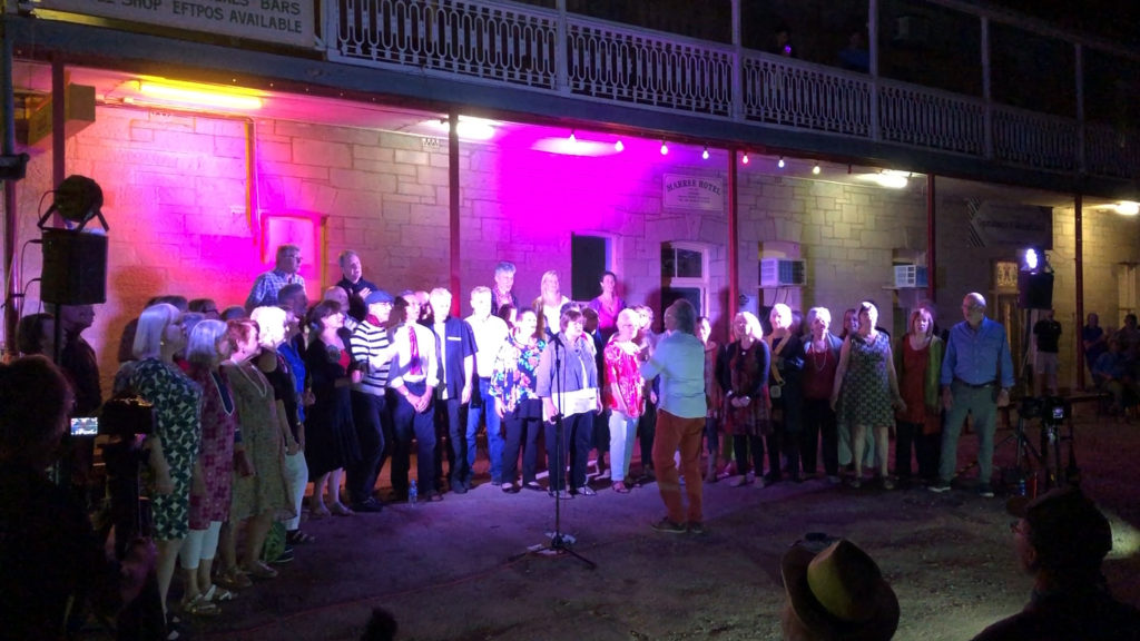
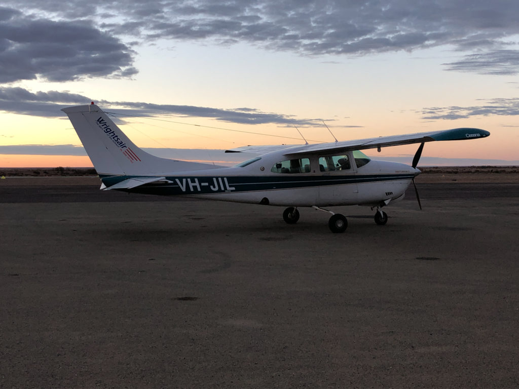
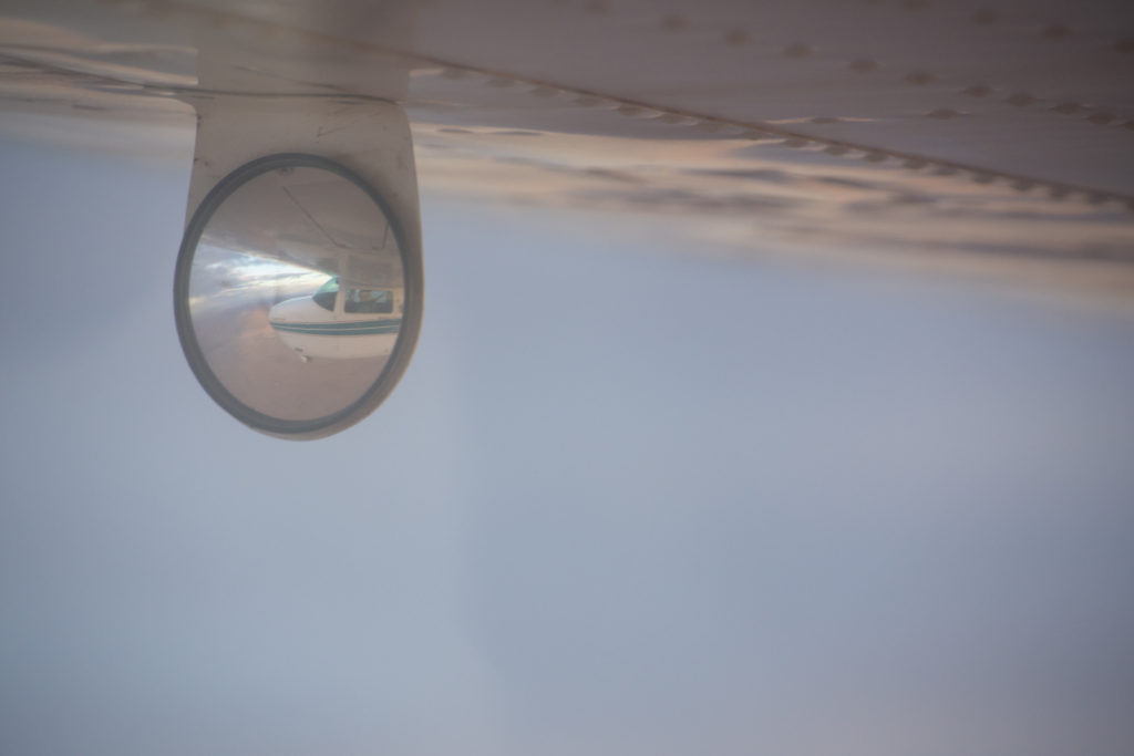
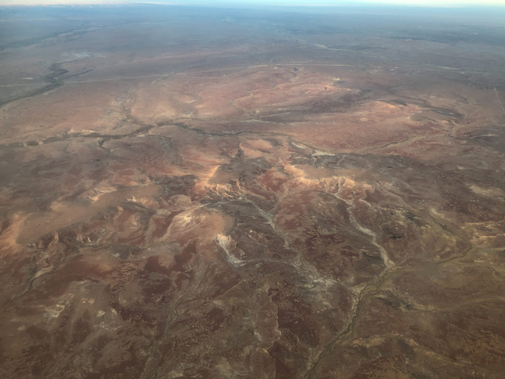
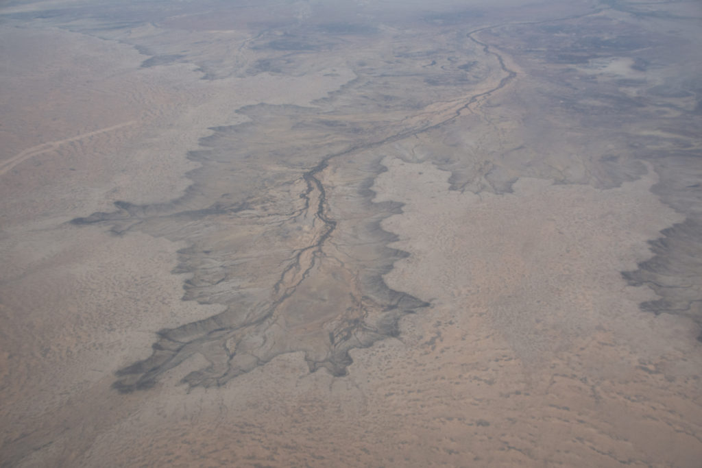
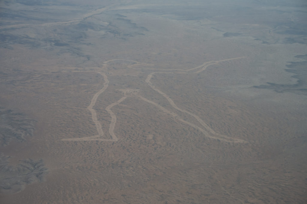
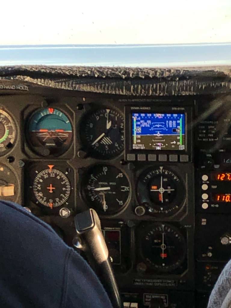
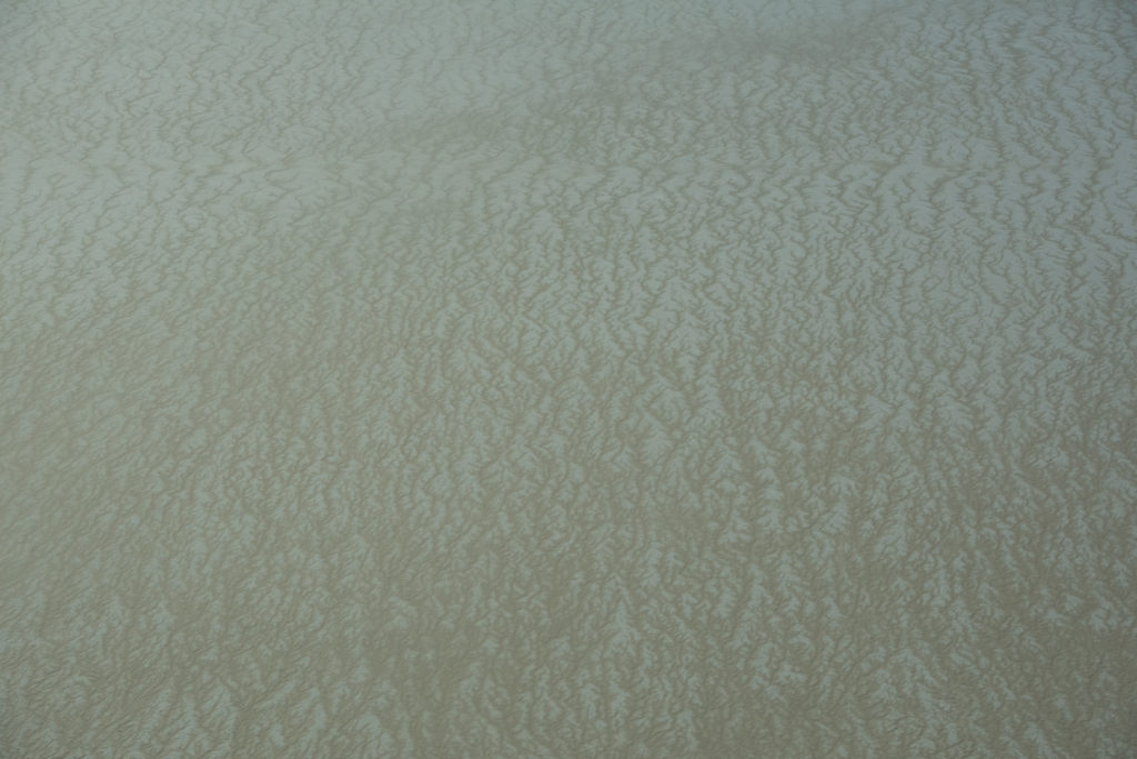
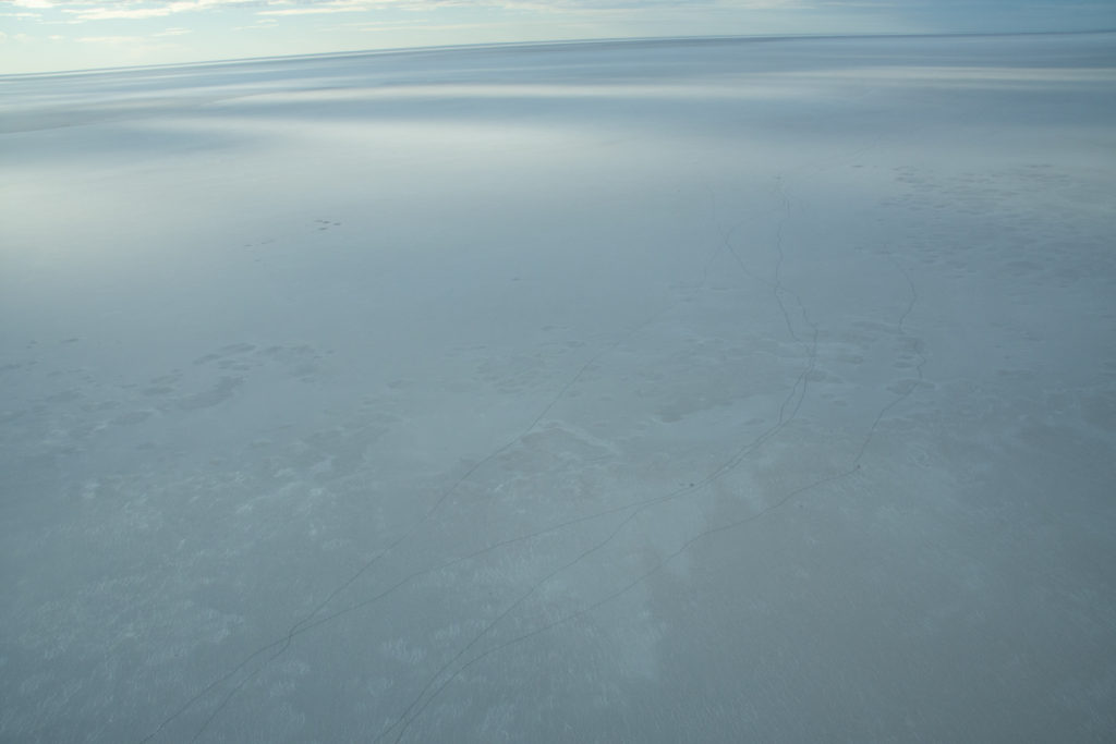
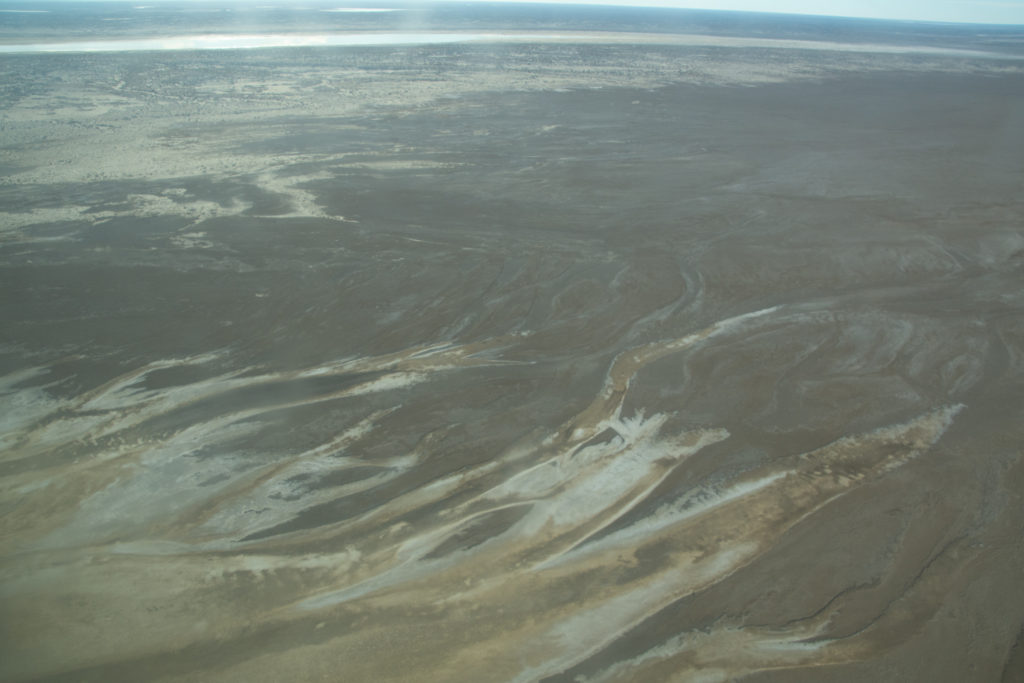
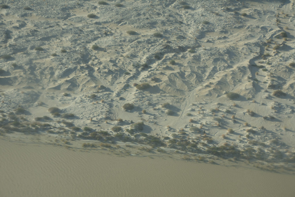
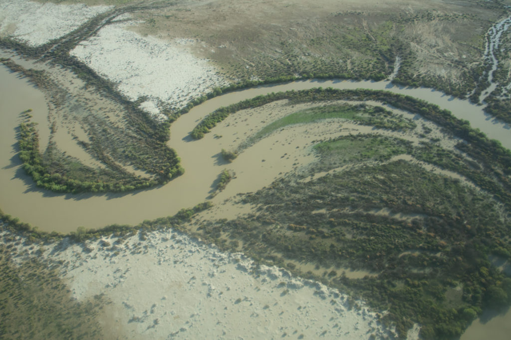
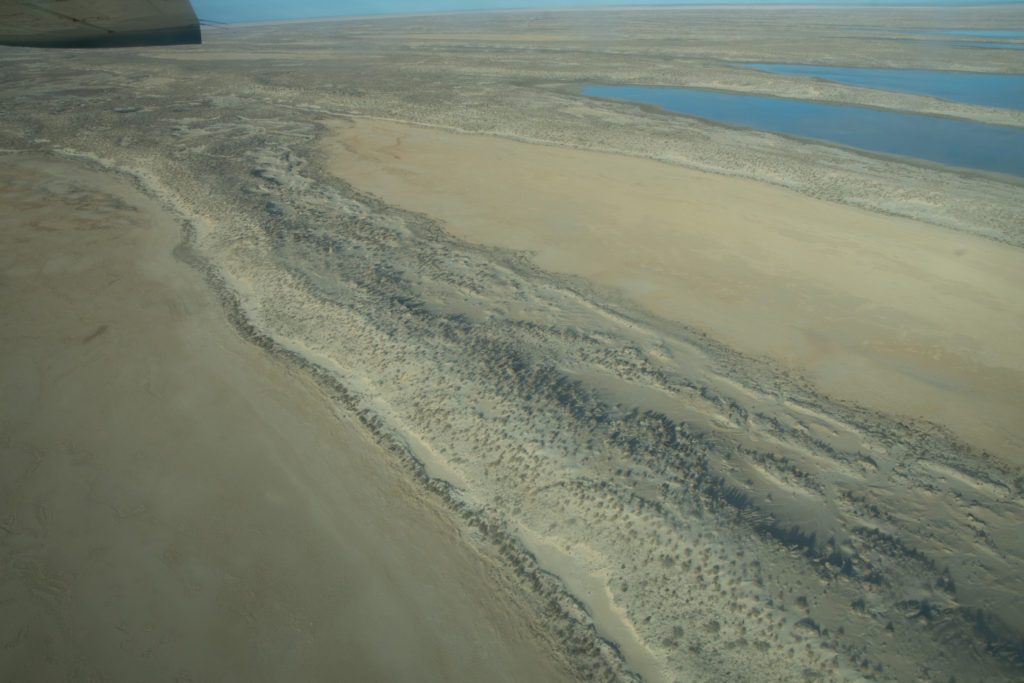
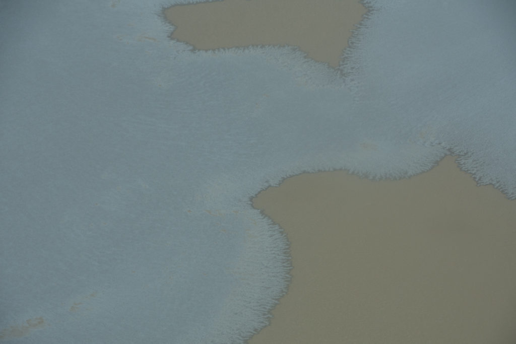
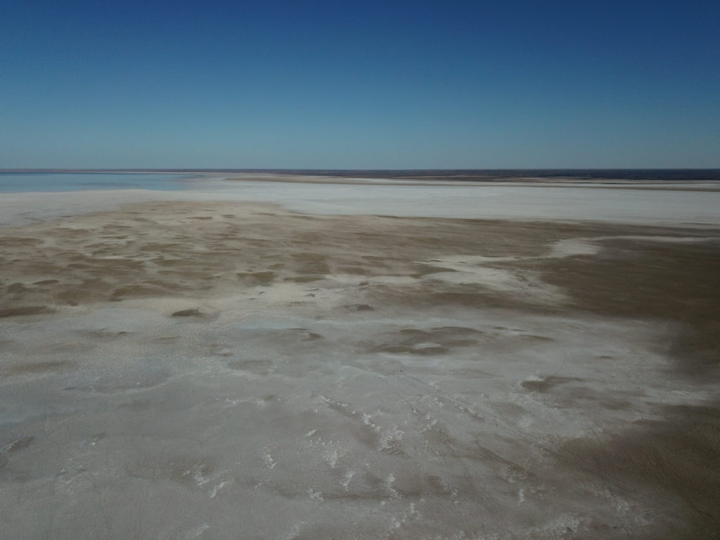
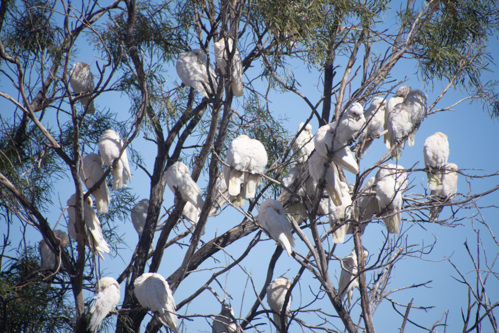
Marree, SAGospel Choir on tourMay 25th, flight over Lake Eyre South & North, SA“Marree Man”, 4.2km long geoglyph. Its origin is still a mystery today.
Altitude : 600m
The lake is about 30% full at the moment.
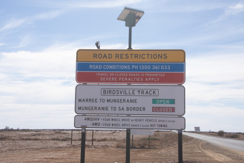
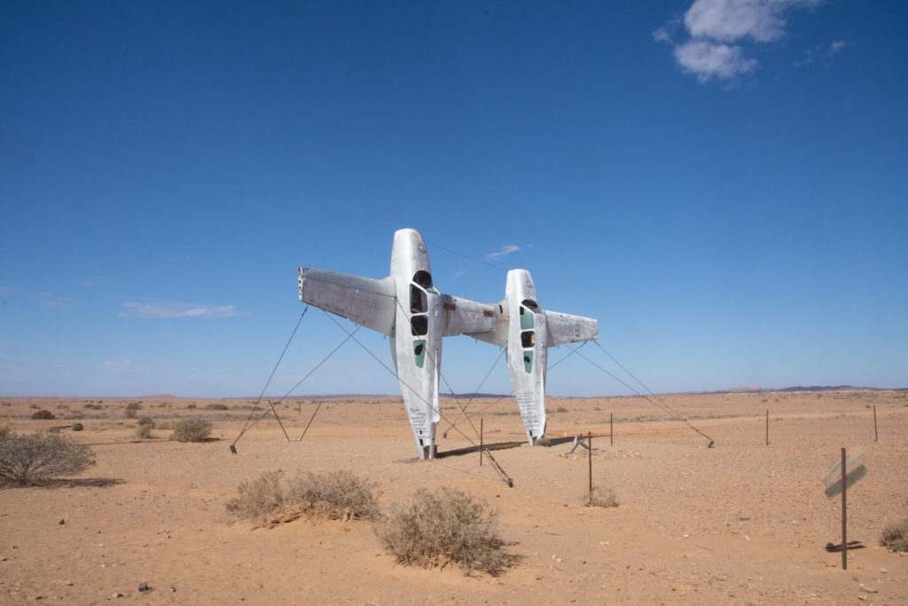
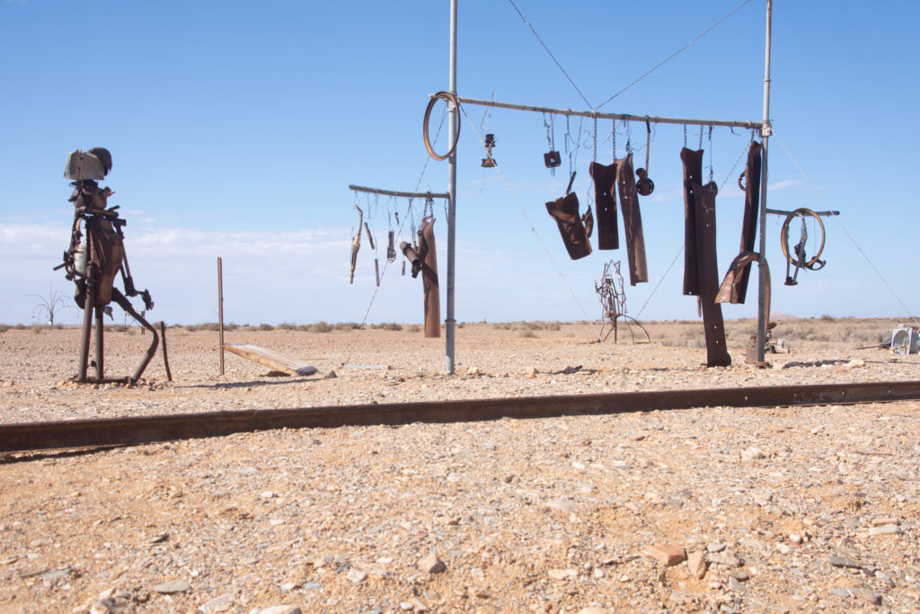
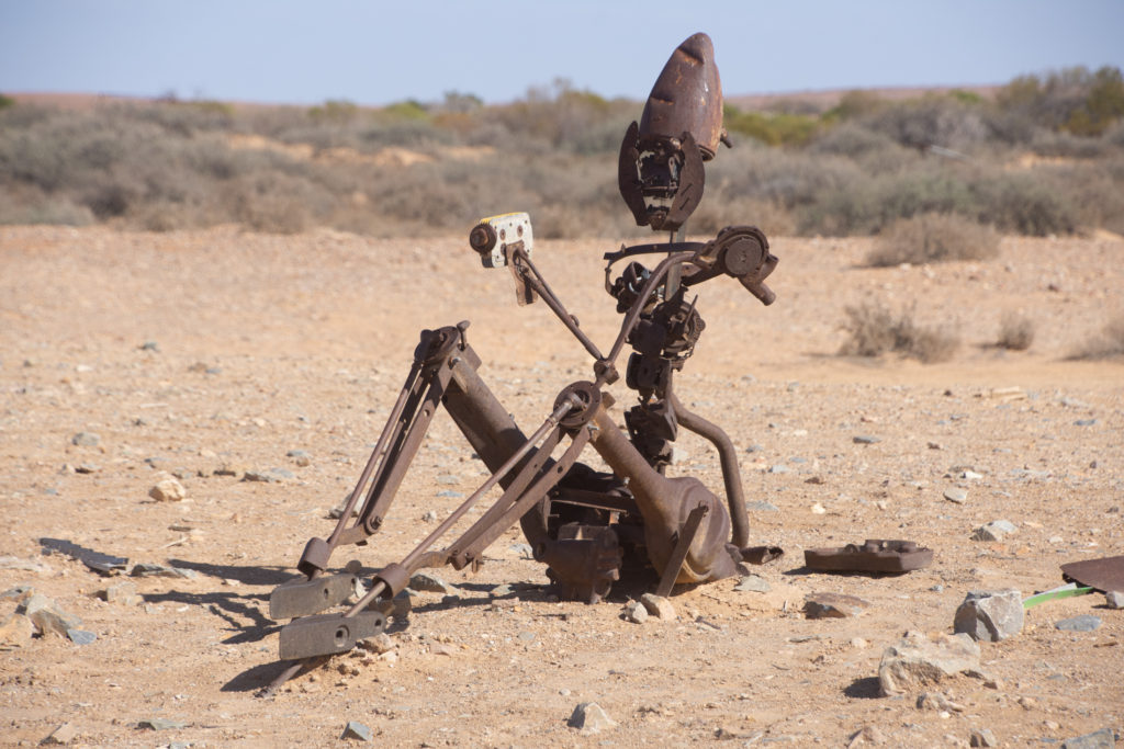
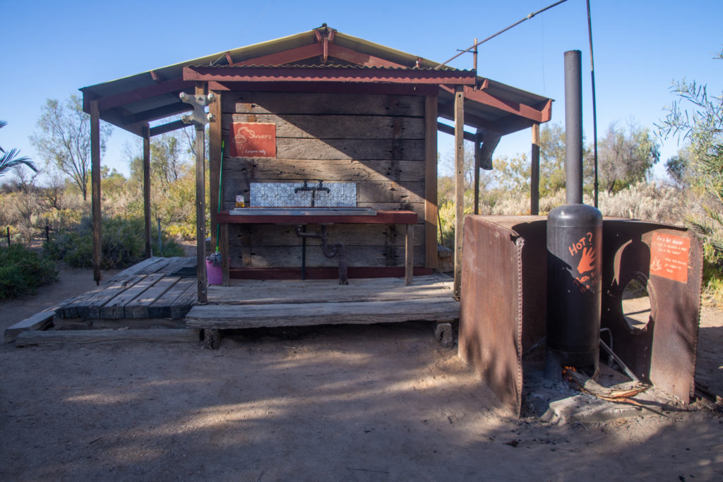
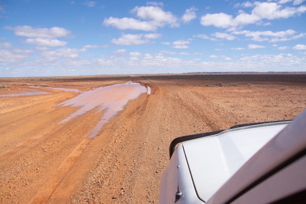
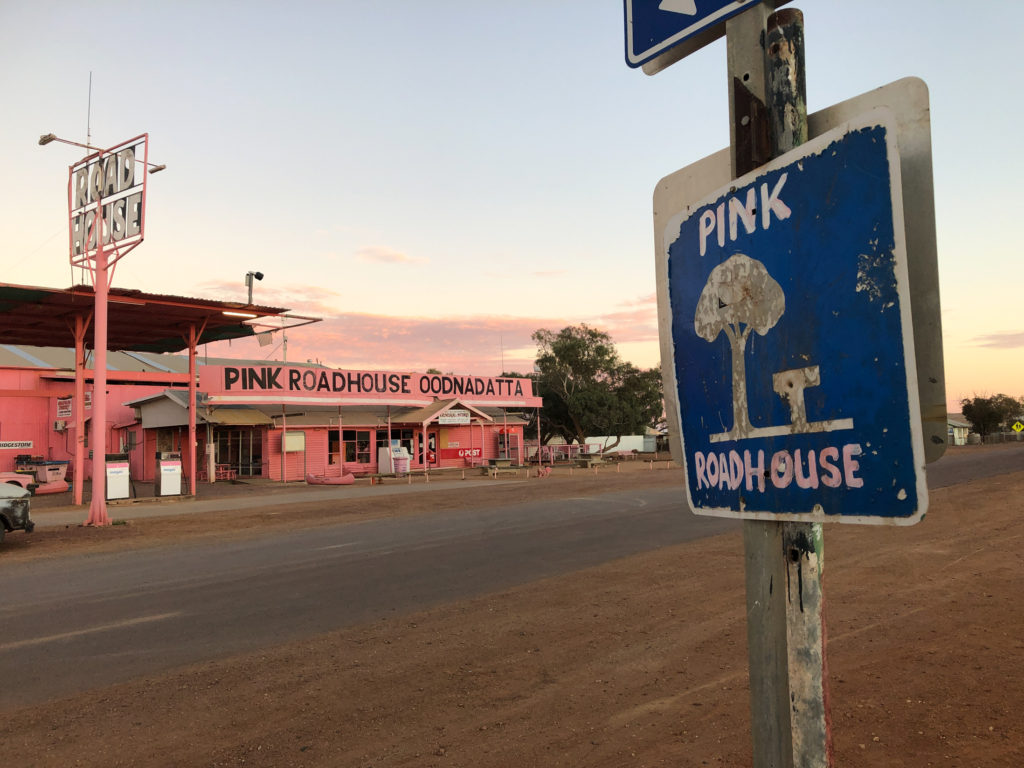
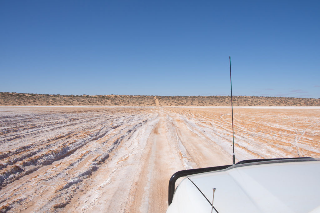
Oodnadatta Track, SAMutonia Sclupture Park – Plane HengeCurdimurka SidingBlanche Cup Mound SpringThe Bubbler Mound SpringMay 26th, Coward Springs, SADonkey ShowerOodnadatta Track, SALe point le plus bas du continent australien, 15.2m sous le niveau de la mer ! Halligan Bay, SAMay 27th
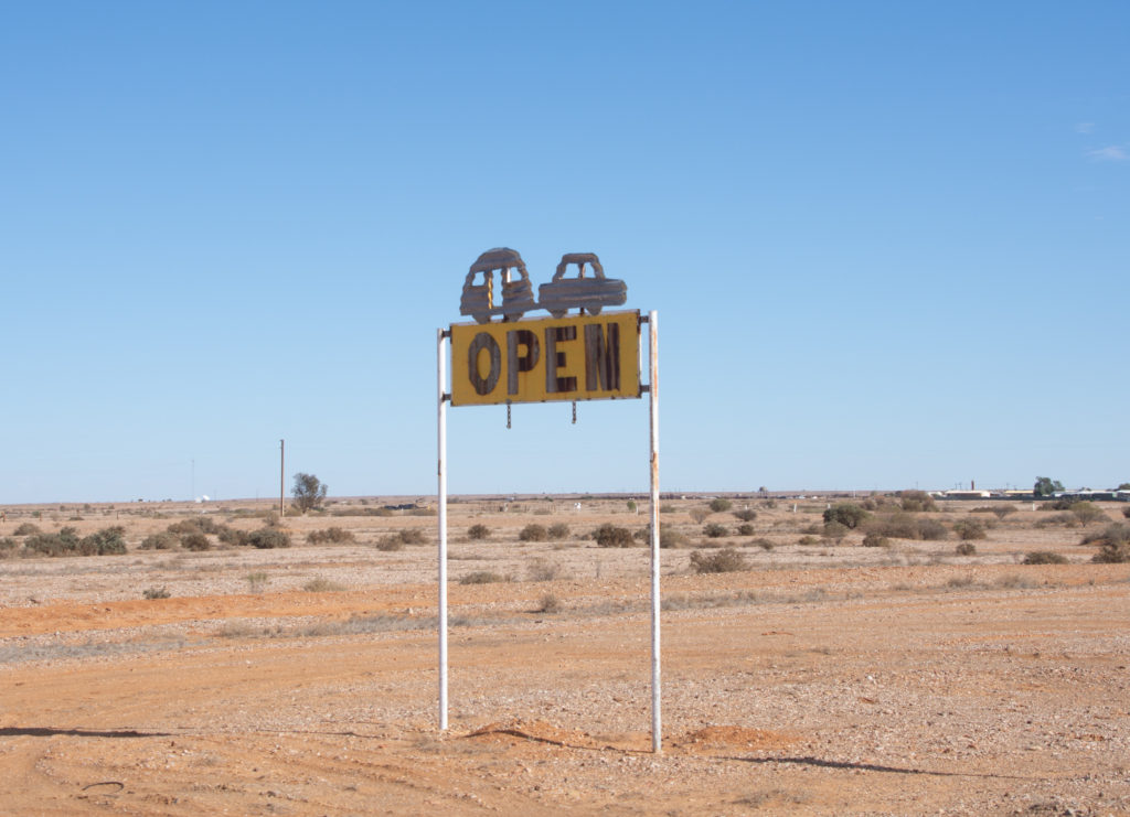
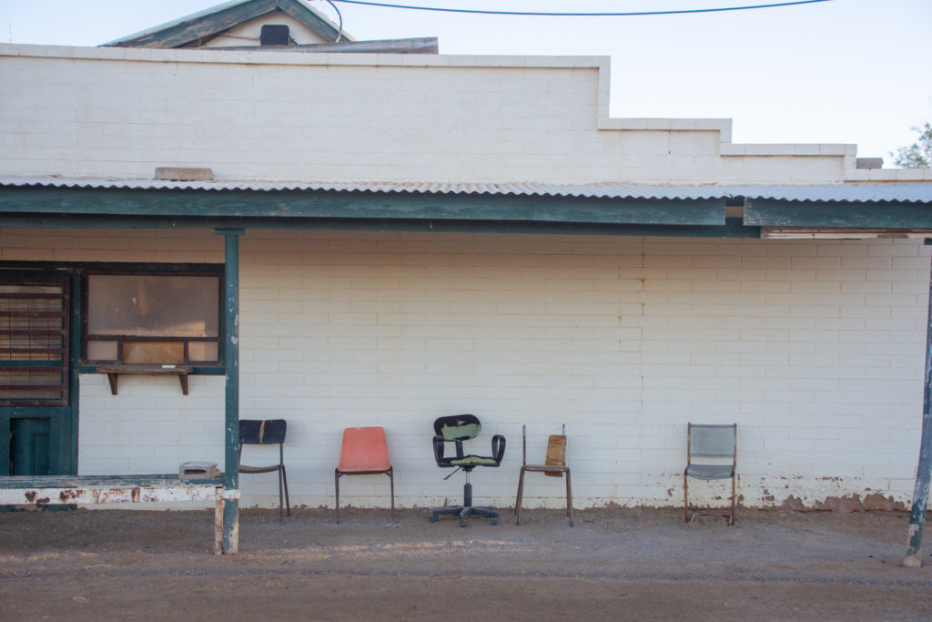
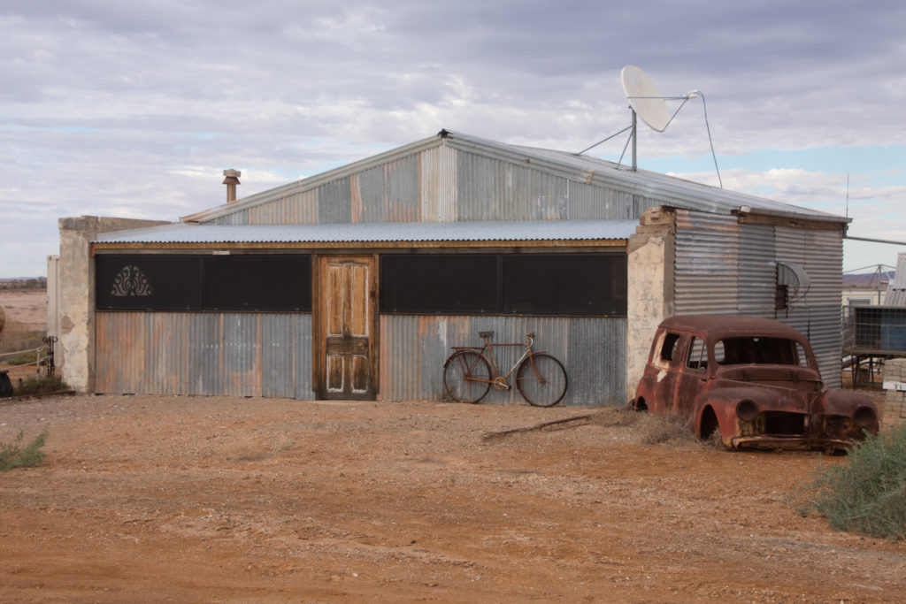
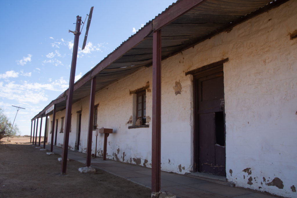
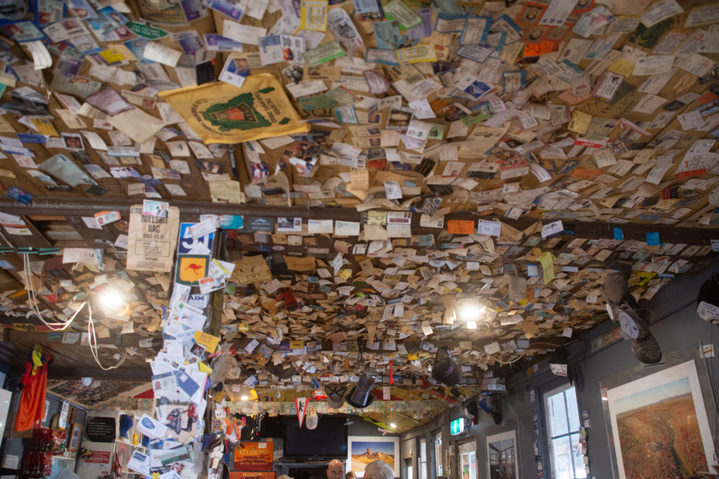
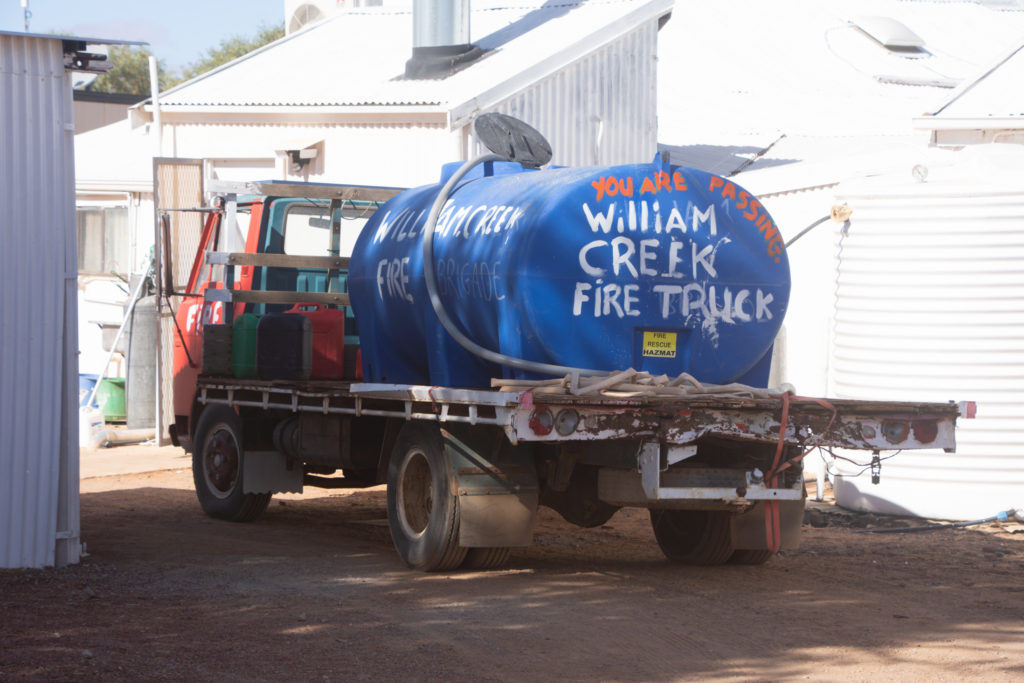
William Creek
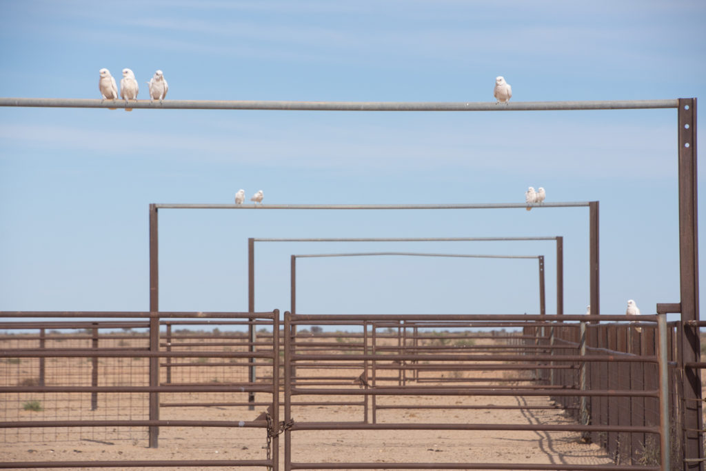
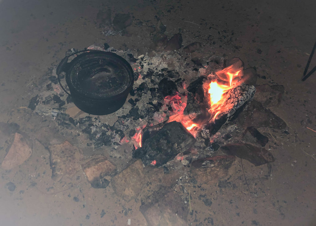
William Creek HotelPeake StationAlgebuckinaMay 28thhome made, fire cooked
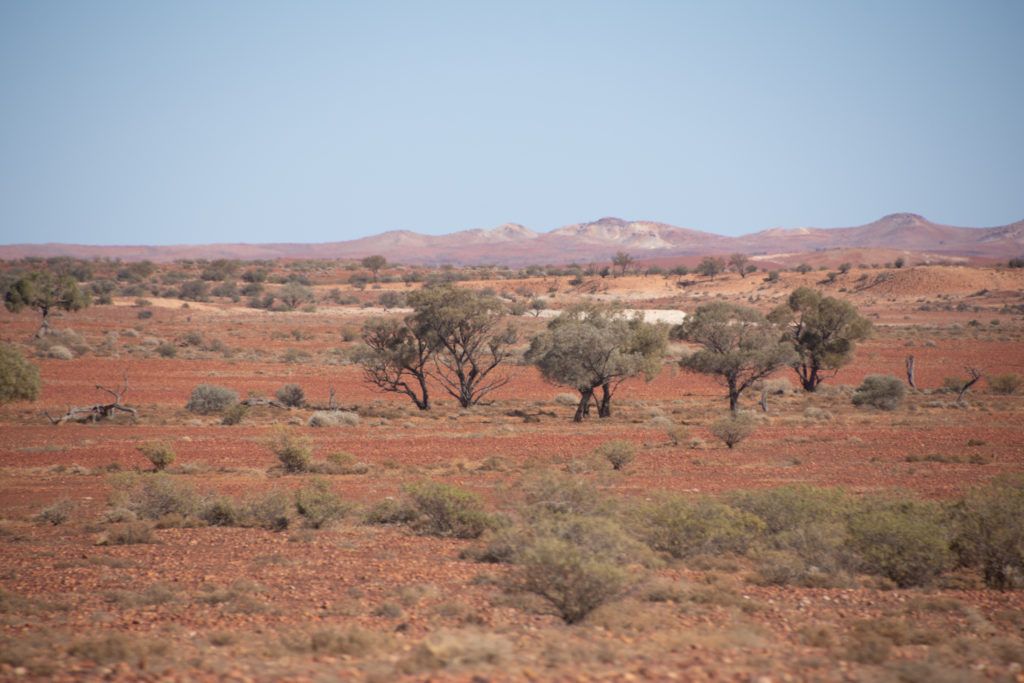
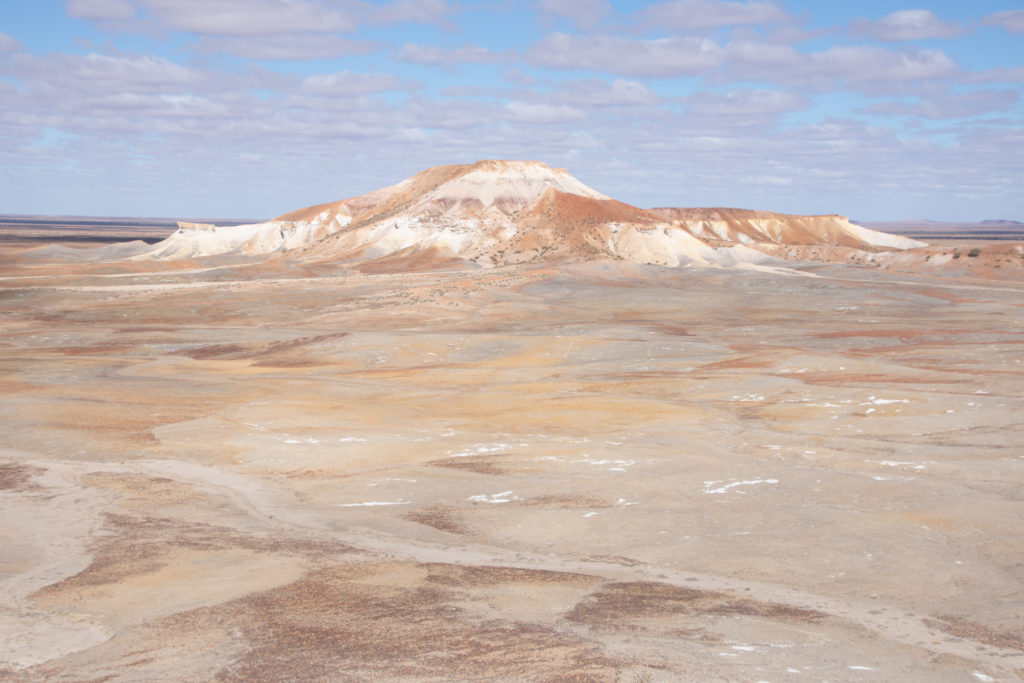
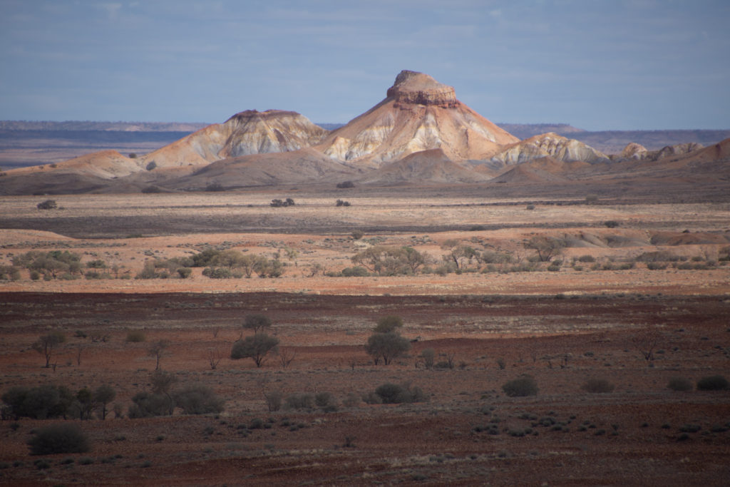
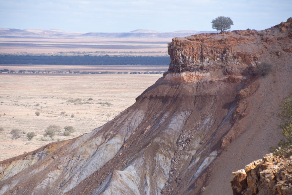
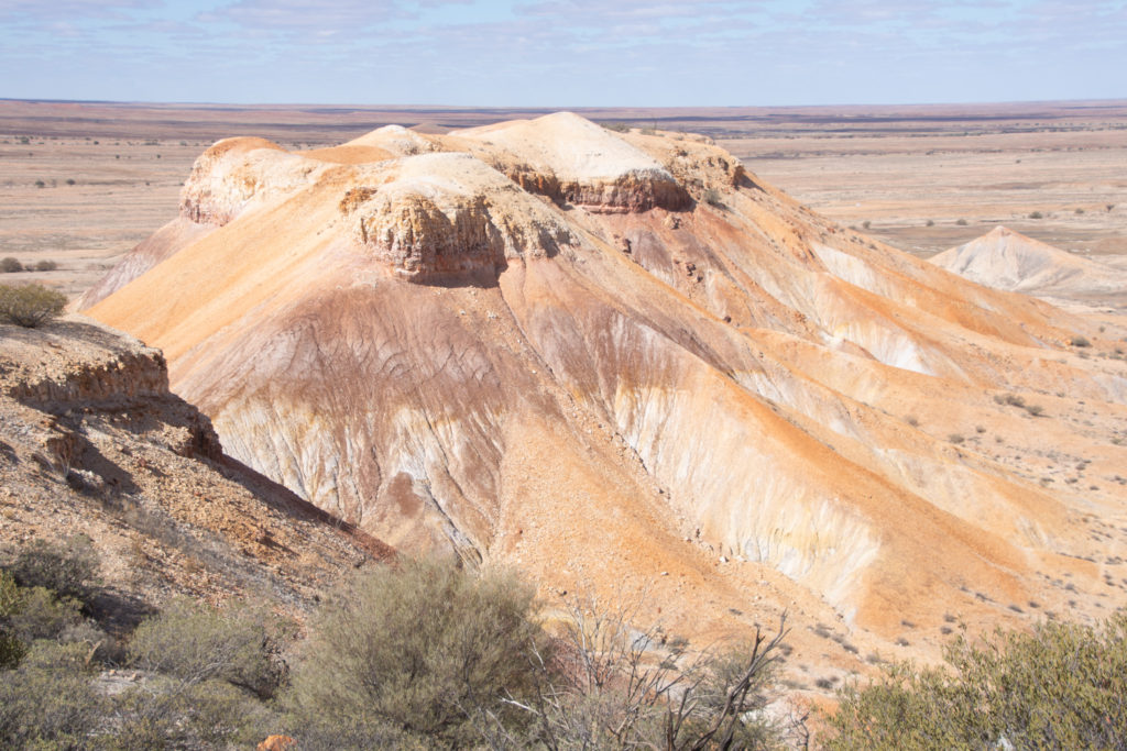
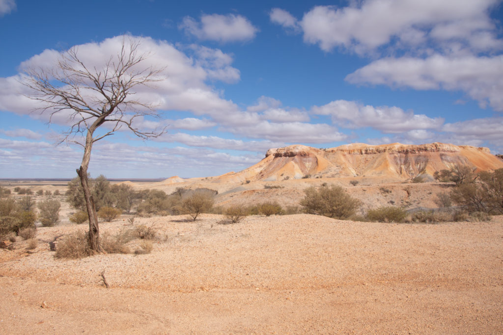
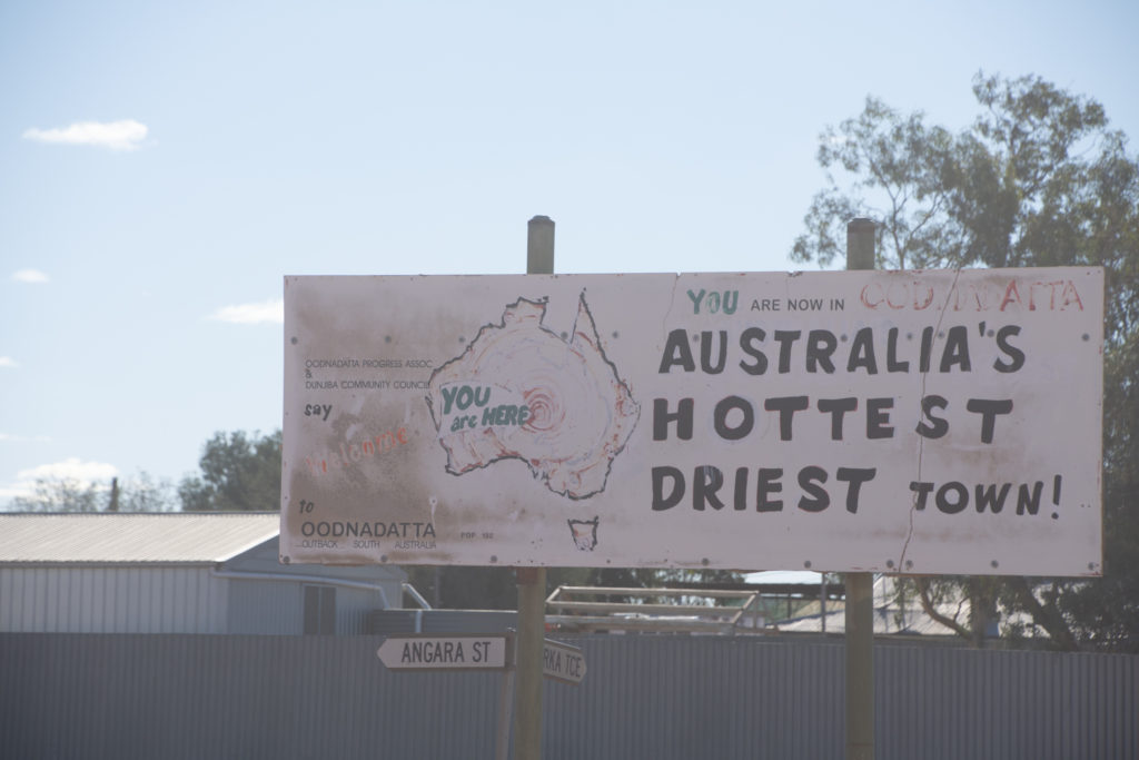
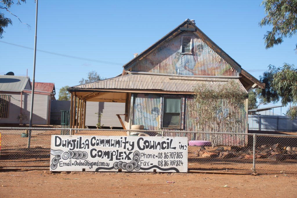
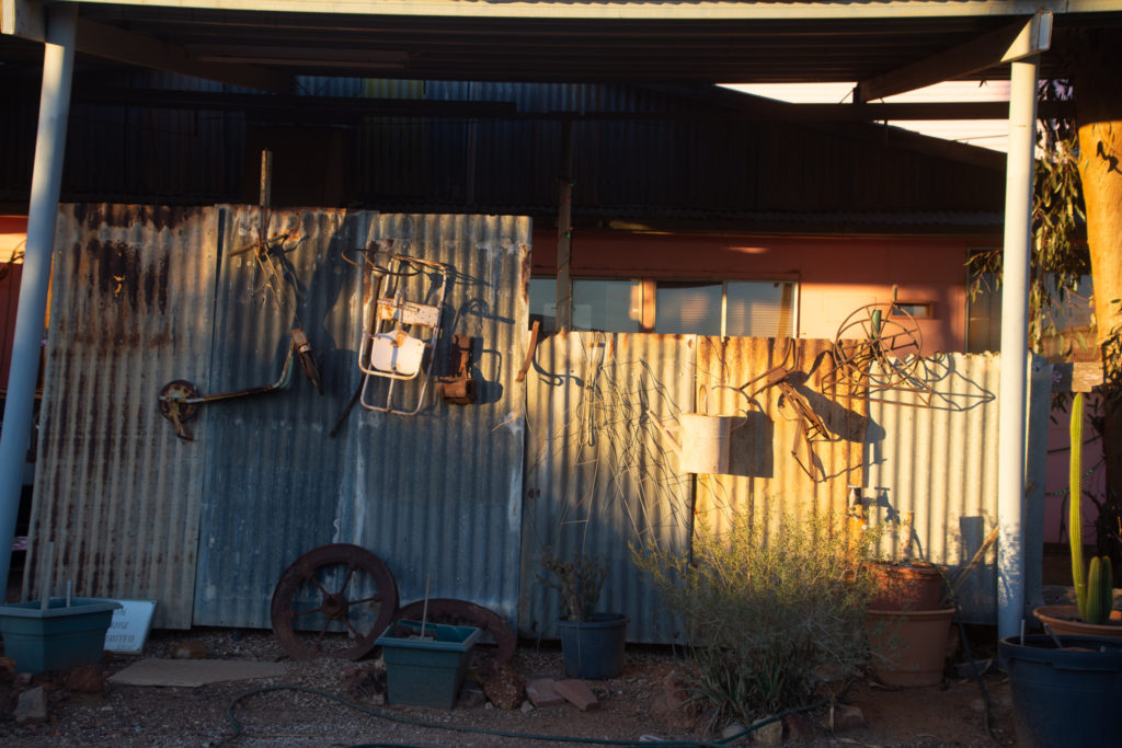
Painted Desert, SAOodnadatta, SA
May 29th
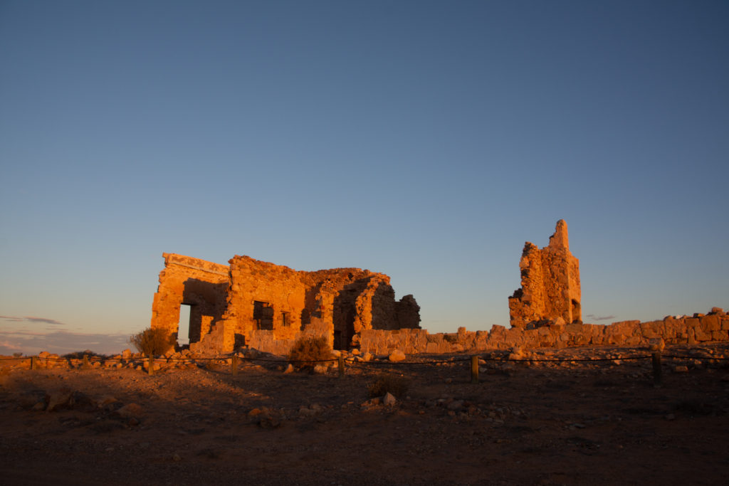
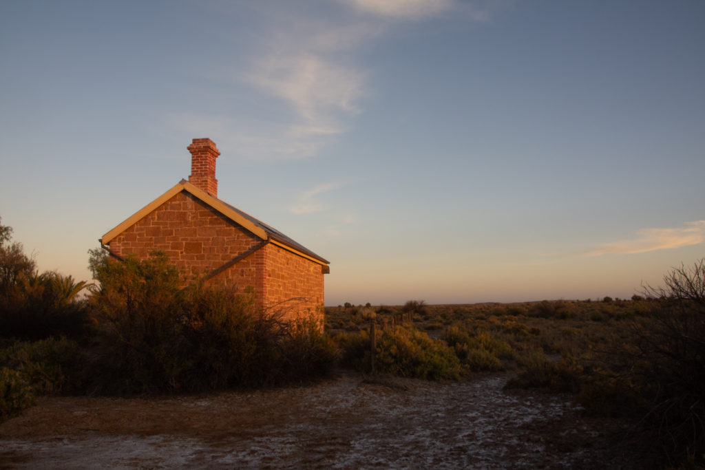
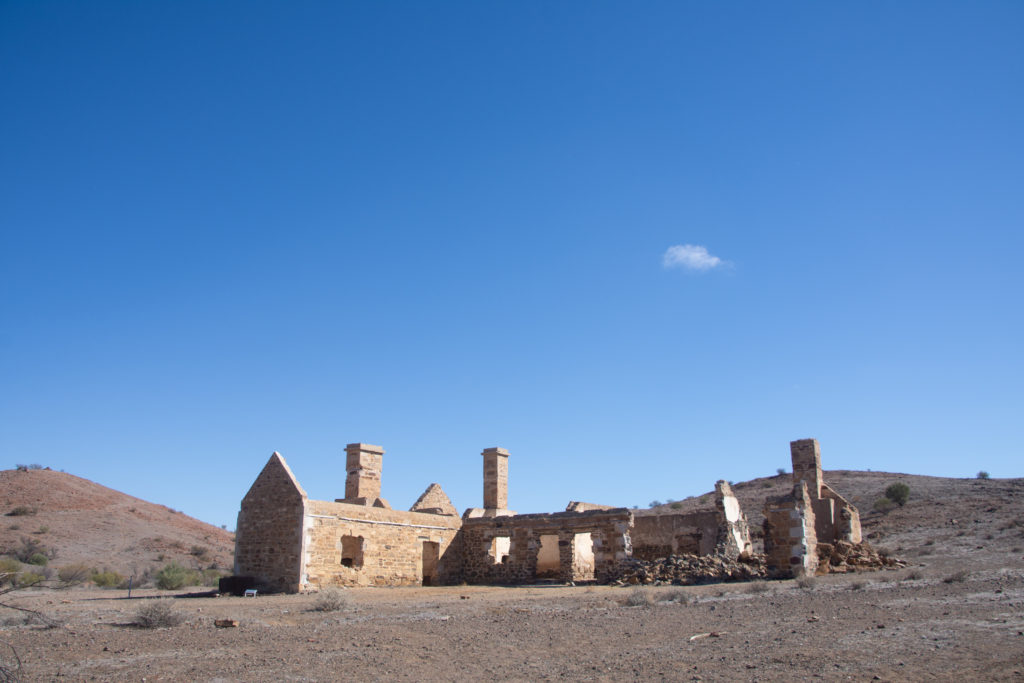
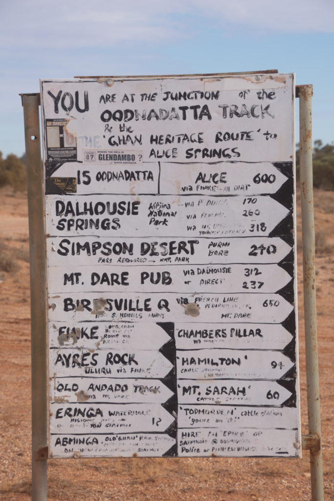
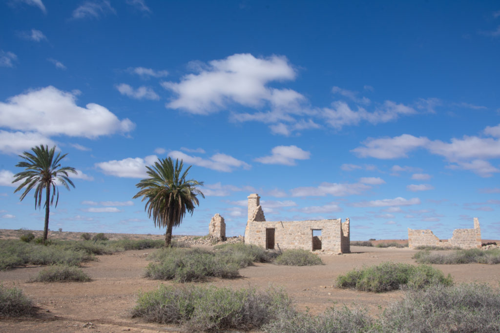
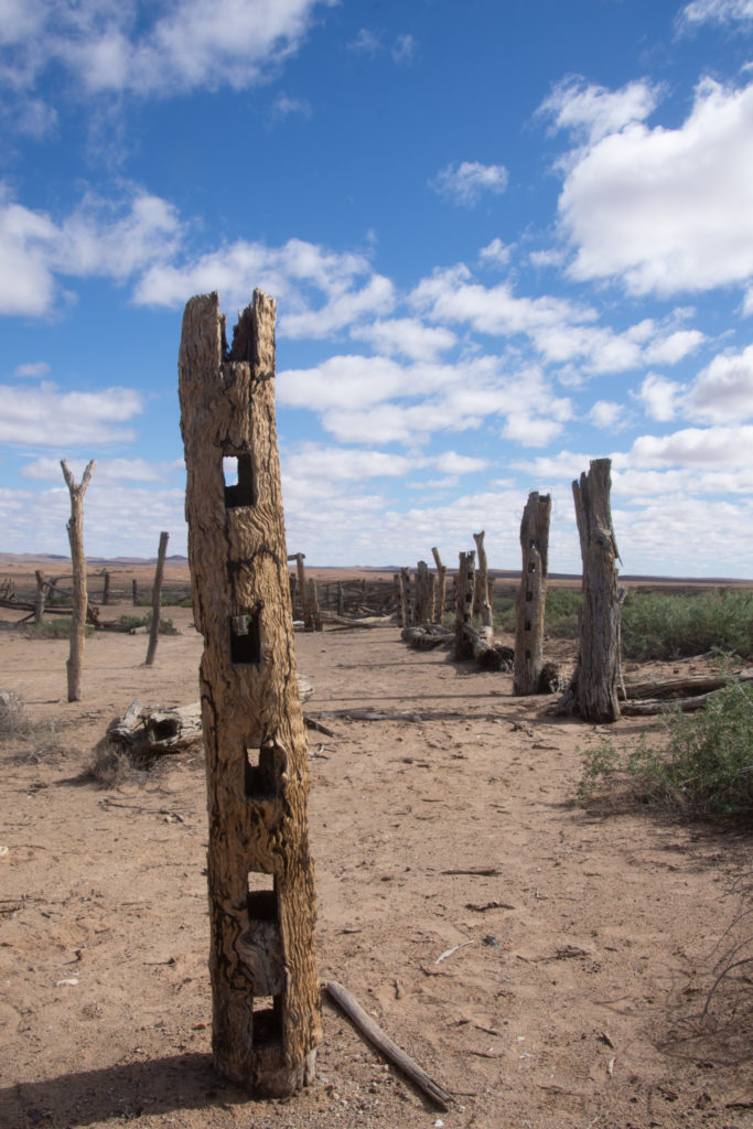
Dalhousie Ruins, SA
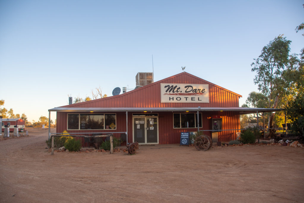
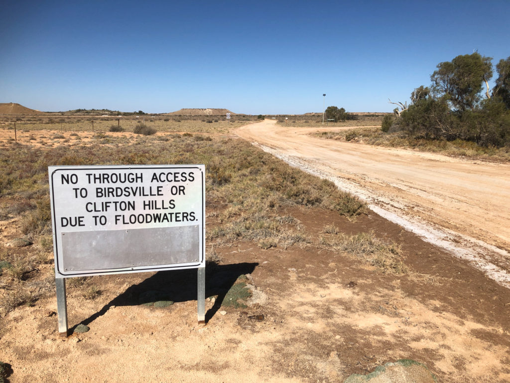
Mount Dare, SA
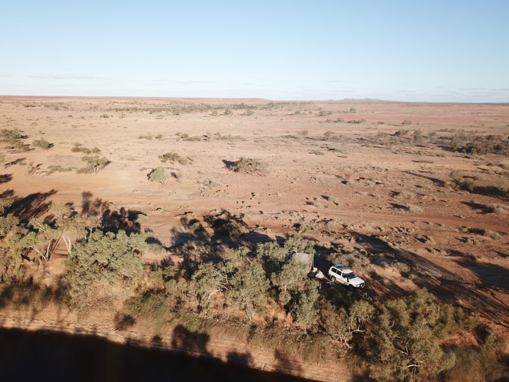
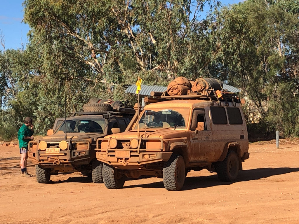
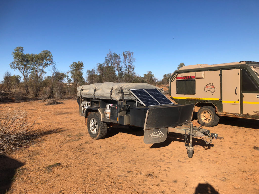
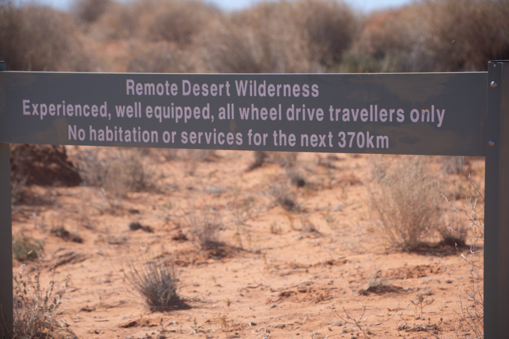
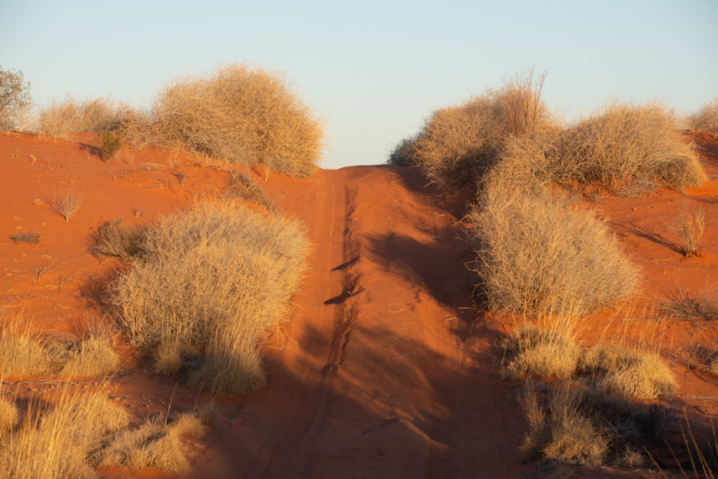
Where the hell have they been??Mount Dare, SAMay 31st. Parking spot for our camper-trailer while we cross the Simpson Desert.
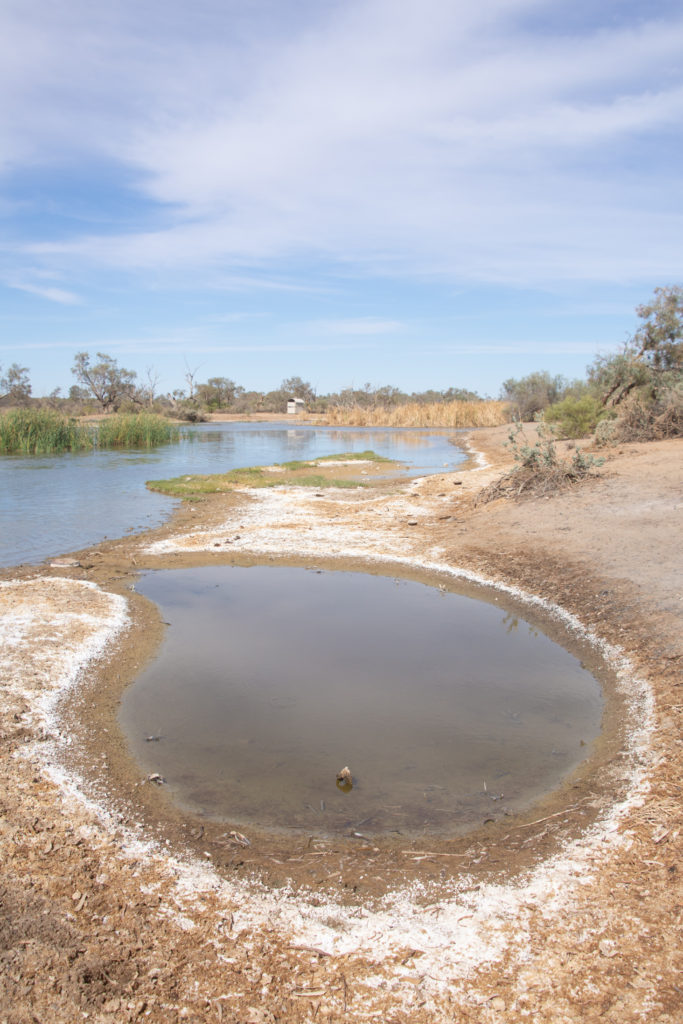
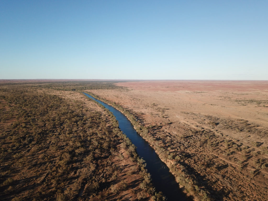
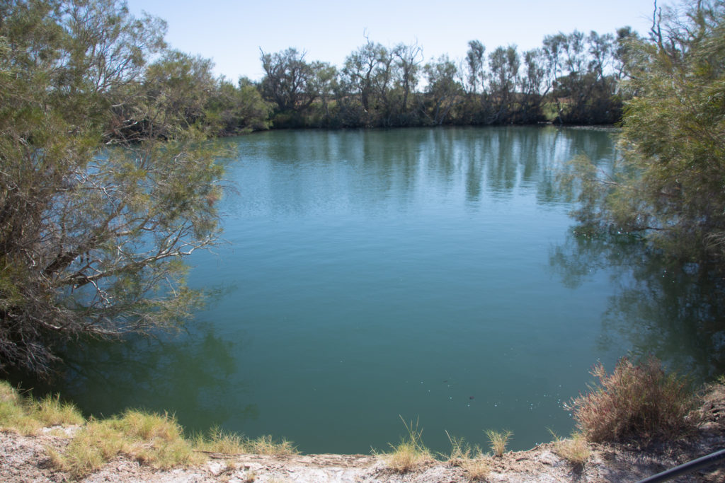
Dalhousie Hot Springs, SAPurni Bore, French Line, Witjira NP, SA
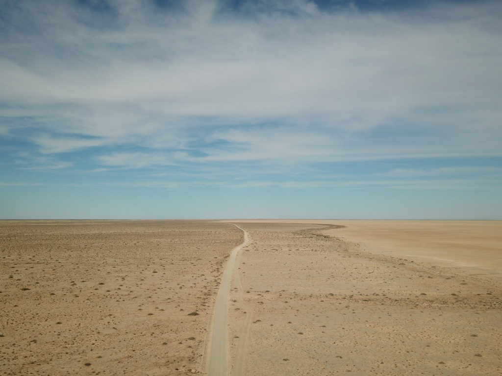
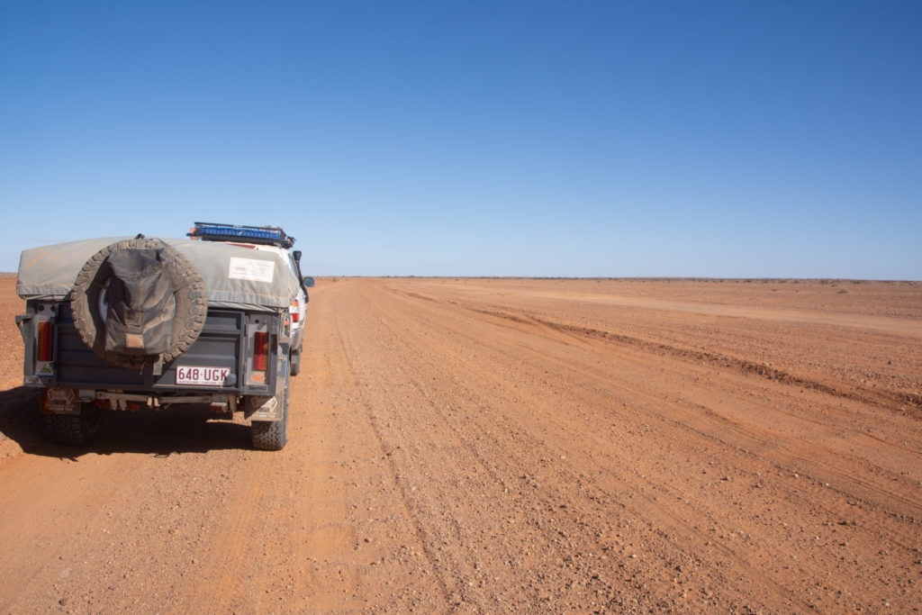
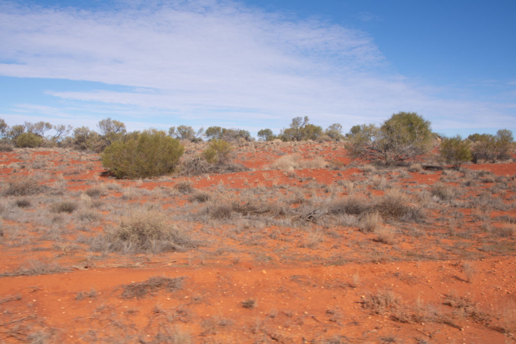
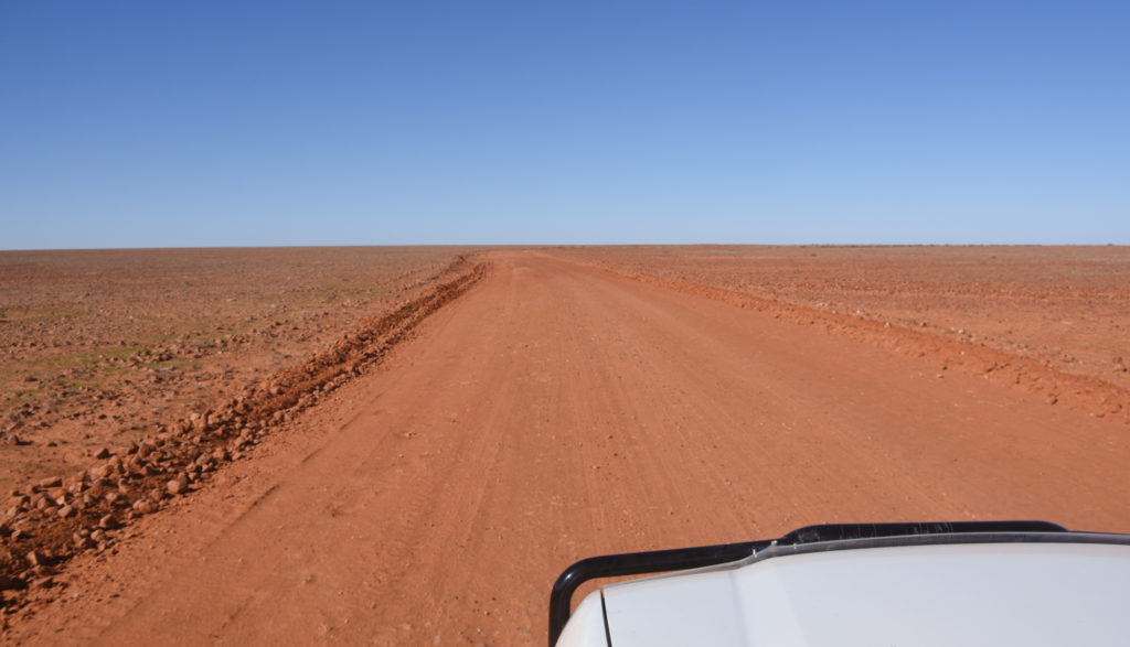
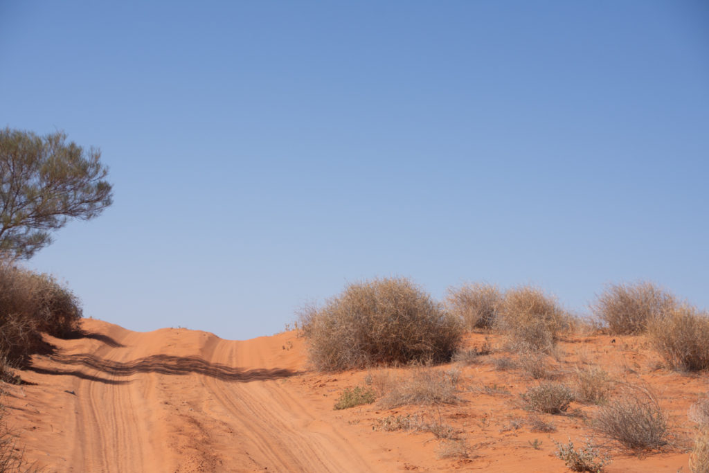
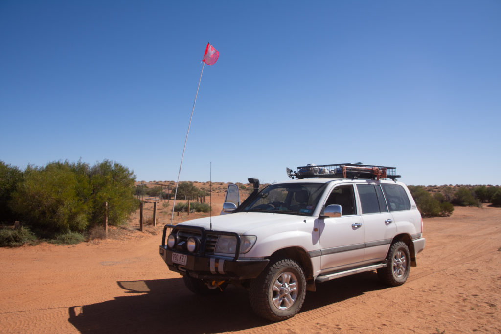
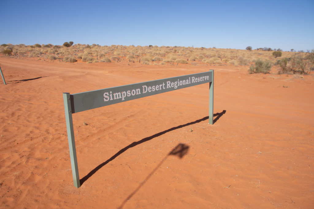
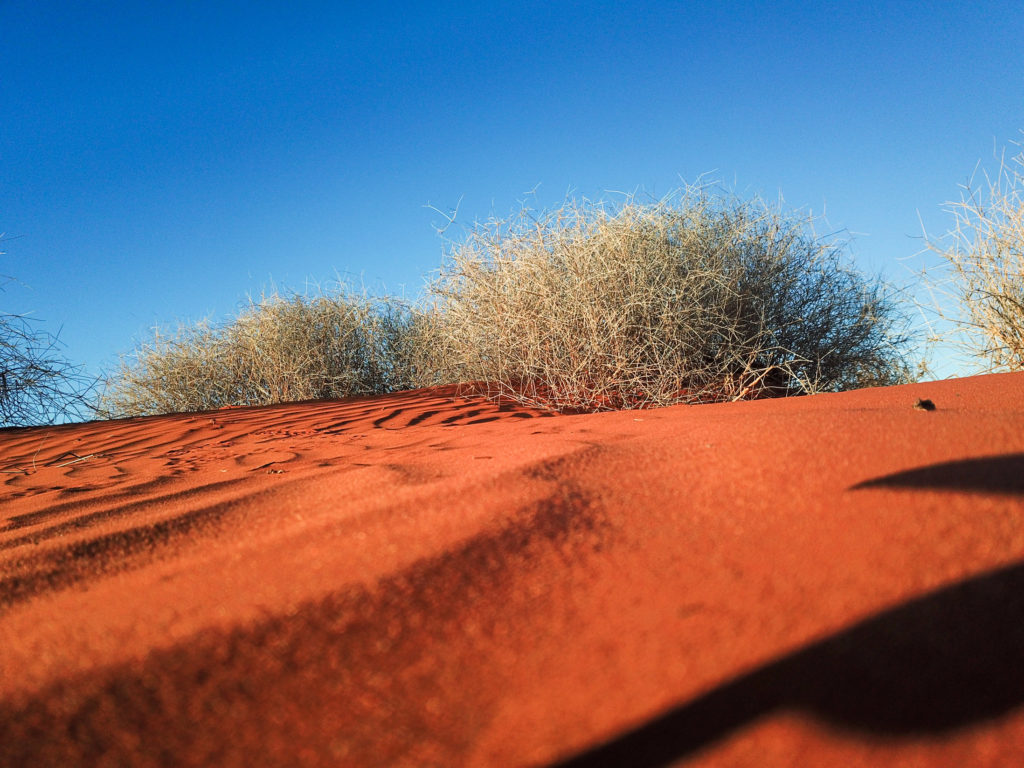
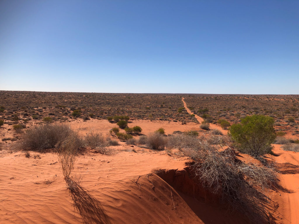
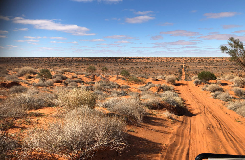
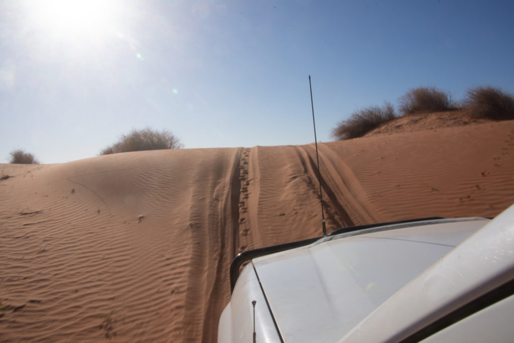
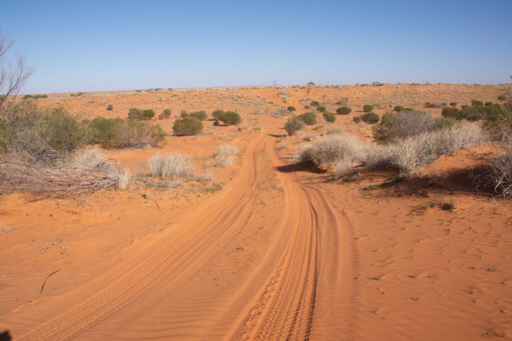
French Line, Simpson Desert, SA
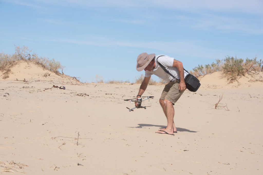
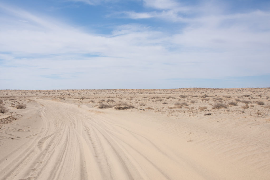
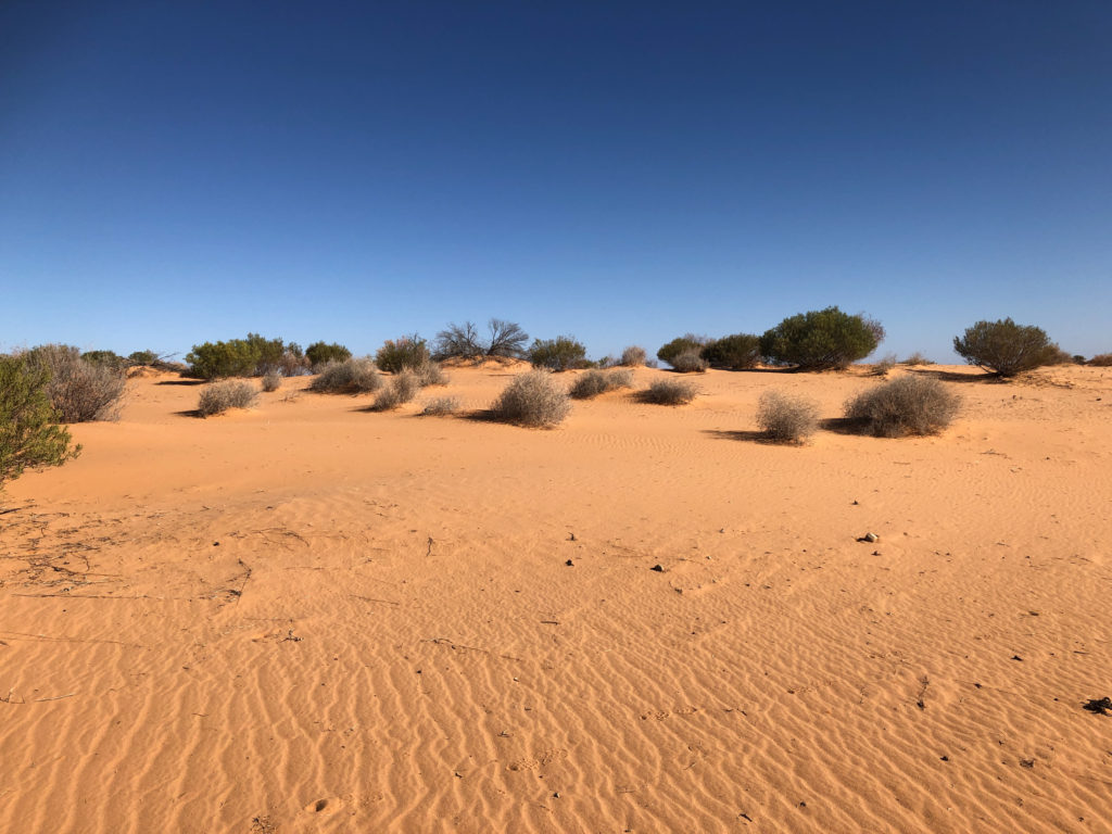
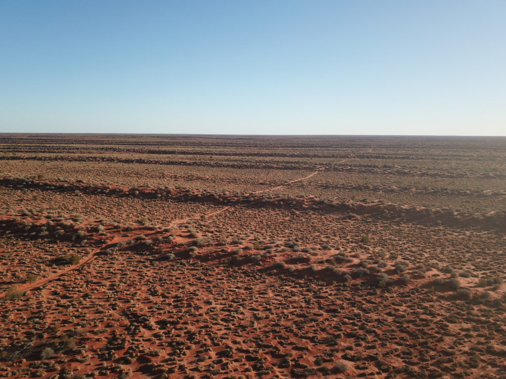
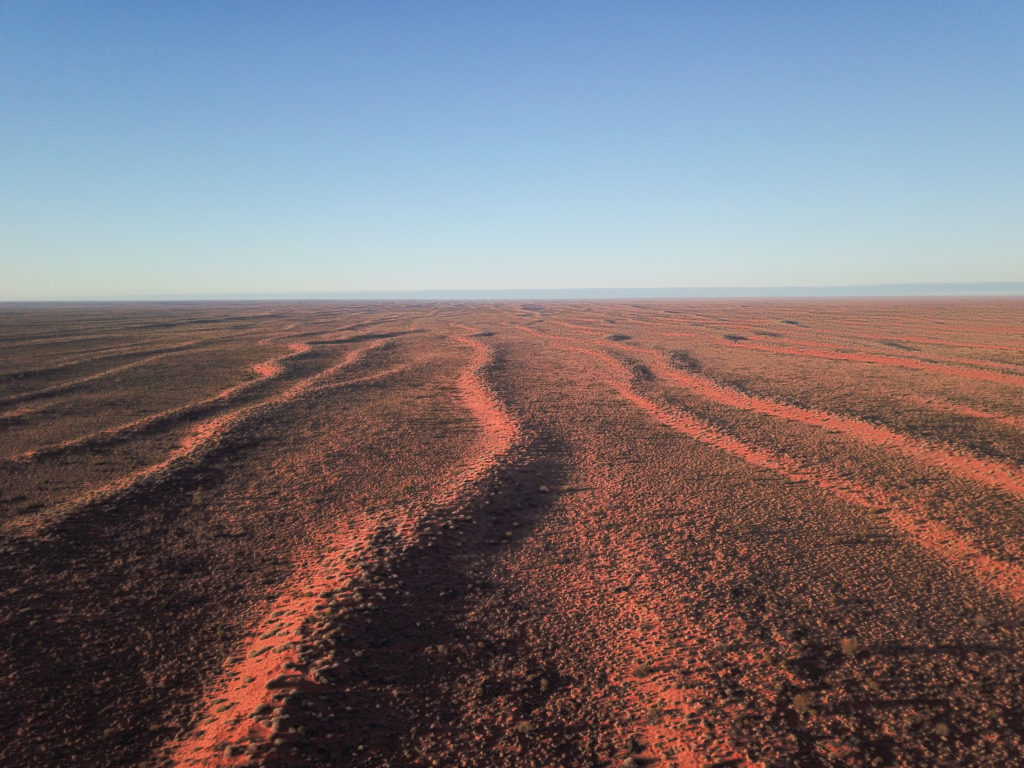
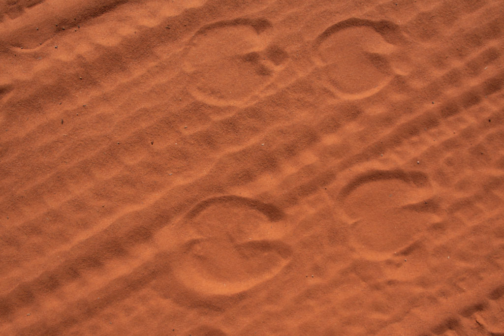
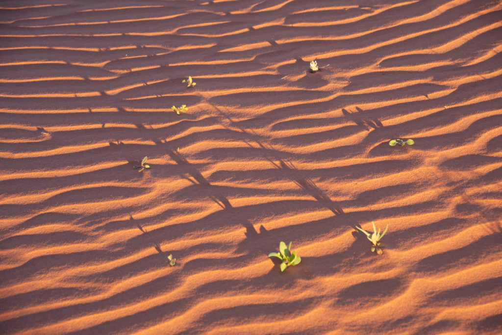
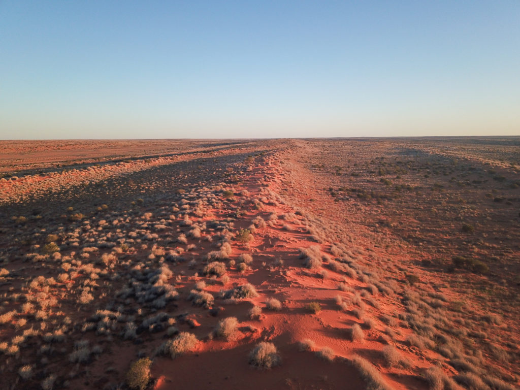
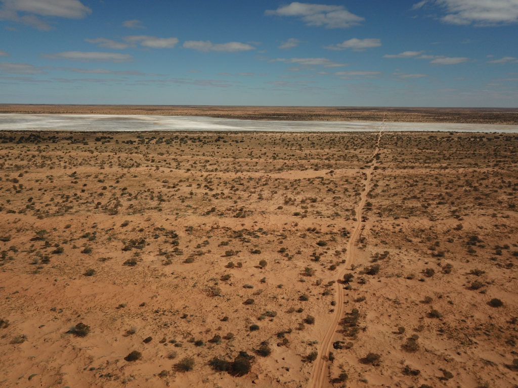
Aerial view of a few of the 1100 dunes in the Simpson DesertJune 1stCamel prints. Unfortunately still no camel in sight…
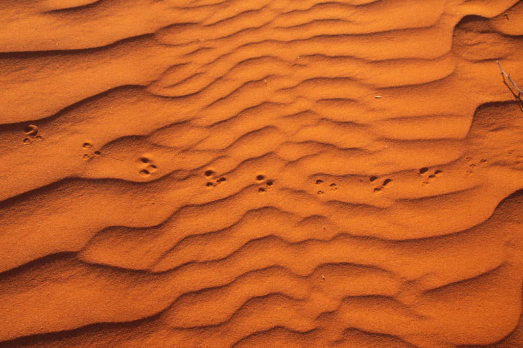
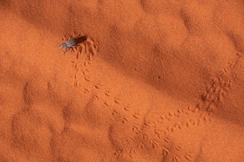
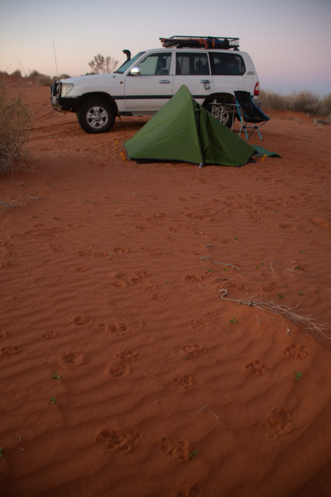
June 2nd. Looks like some dingoe activity has taken place around the camp last night…
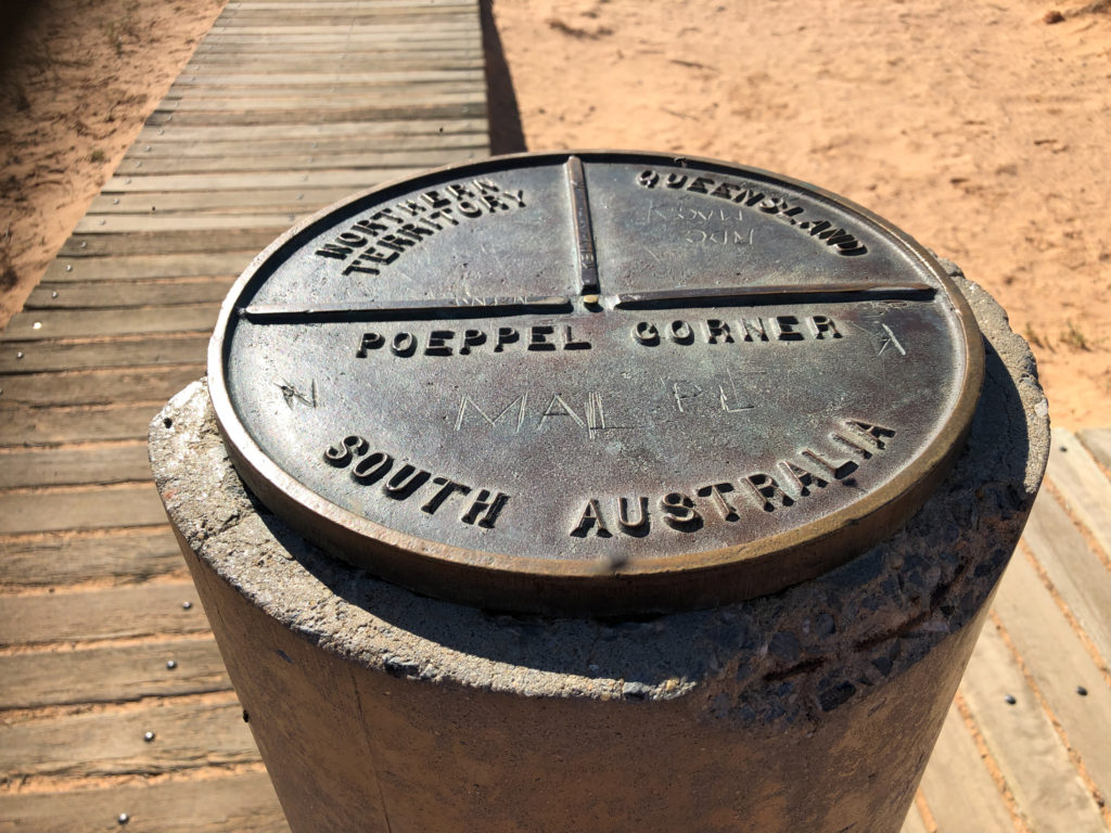
Poeppel Corner, meeting point between NT, QLD and SA.